Hautes-Pyrénées · France
Cirque de Troumouse
D922Gèdre to Cirque de Troumouse
A toll-gated switchback climb to the rim of a vast Pyrenean glacial cirque.
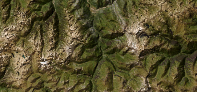
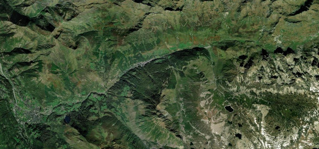
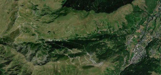
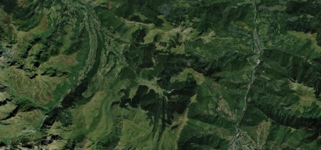
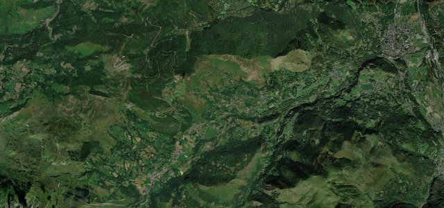
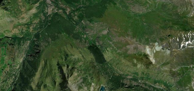
From near Gèdre the D922 climbs past Héas to the lip of the Cirque de Troumouse, the largest glacial amphitheatre in the French Pyrenees. The upper section is a ladder of very tight switchbacks on a narrow shelf, finishing above 2,000 metres at a high pastoral bowl ringed by 3,000 metre peaks. It is single-track in places with passing only at the bends, so progress is slow. Mind the very tight blind hairpins, wandering livestock on the open mountain, and the late-spring snow that keeps the upper road shut.
Where it runs3.6 mi · point to point
Navigate to the start: Apple Maps · Google Maps
Character
Corners
busiest around mile 1Elevation
under 4%4–8%over 8%1,077.4 – 1,481.9 mFrom the road
Points of interest1 stop
- Moulins de Gèdre-DessusLandmark0.5 mi in
Hazards
- Very tight single-track hairpins
- Free-roaming livestock
- Late snow closures up high
Is Cirque de Troumouse open? Typical season and live summit weather ›
Sources
“The views as you ascend are spectacular, particularly on the numerous hairpin bends towards the top.”
Verified route: mapped from real road geometry and fact-checked by a human editor. How roads get checked
Driving the Cirque de Troumouse: quick answers
How long does it take to drive the Cirque de Troumouse?
How difficult is the Cirque de Troumouse to drive?
When is the best time to drive the Cirque de Troumouse?
Is there a toll on the Cirque de Troumouse?
Nearby roads
The closest great drives to Cirque de Troumouse.