Hautes-Pyrénées · France
Col du Portet
D123Saint-Lary-Soulan to Col du Portet
The highest paved road pass in the French Pyrenees at 2215 metres, a brutal modern Tour de France climb above Saint-Lary-Soulan.
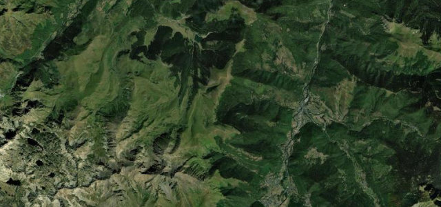
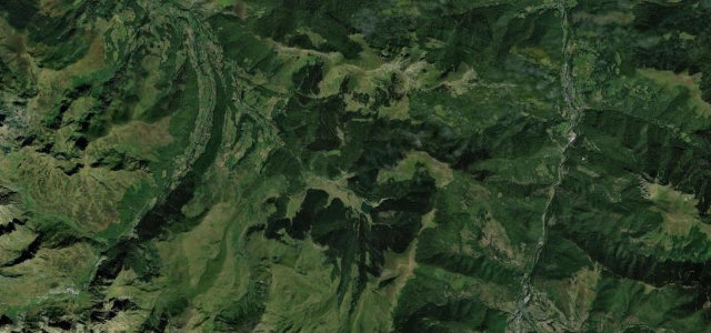
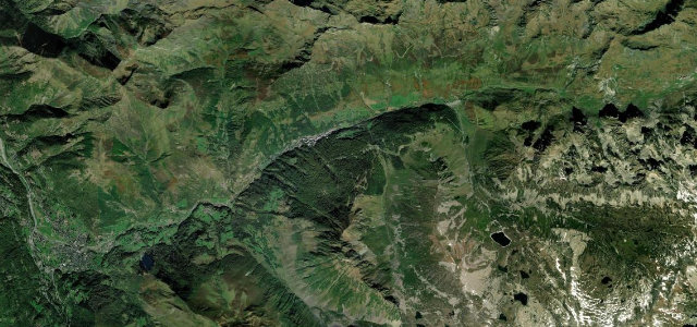
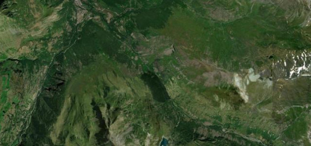
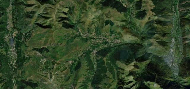
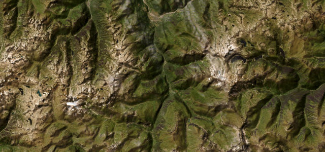
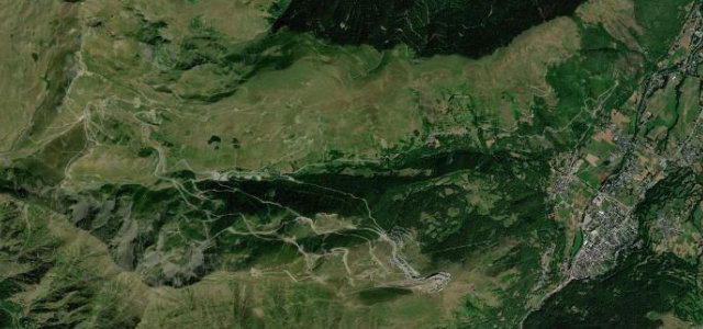
Surfaced to the summit only in 2018 for its Tour de France debut, the Col du Portet rises from Saint-Lary-Soulan on the D123 toward Espiaube and then on a narrow ribbon to a 2215 metre crest, the highest paved pass in the French Pyrenees, even loftier than the Tourmalet. It is a relentless climb, averaging well over eight percent with long ramps and tight switchbacks, opening onto huge high-pasture panoramas and the surrounding peaks of the Aure. This is a dead-end mountain road rather than a through route, so it is a destination drive, quiet and raw. The upper road is narrow and exposed. Open in the warmer months only. Mind the steep sustained gradients on the descent, the single-lane pinch points near the top, and cattle and walkers on the open summit pastures.
Scenery
Best seasons
In these collections
Where it runs10.7 mi · point to point
Navigate to the start: Apple Maps · Google Maps
Character
Corners
busiest around mile 7Elevation
under 4%4–8%over 8%804.8 – 2,204.6 mFrom the road
Points of interest3 stops
- ViergeLandmark3.9 mi in
- Madame Therese Nars 1859-1937Landmark0.2 mi in
- Col de PortetViewpoint11 mi in
Hazards
- Sustained steep gradients on the descent
- Single-lane pinch points near the summit
- Cattle and walkers on the high pastures
Sources
“This aerial road, cut directly into the steep mountain slope, begins offering breathtaking vistas almost immediately”
Verified route: mapped from real road geometry and fact-checked by a human editor. How roads get checked
Driving the Col du Portet: quick answers
How long does it take to drive the Col du Portet?
How difficult is the Col du Portet to drive?
When is the best time to drive the Col du Portet?
Nearby roads
The closest great drives to Col du Portet.