Occitania · France
Col du Tourmalet
D918Luz-Saint-Sauveur to Barèges
The Pyrenees' most storied Tour de France climb.
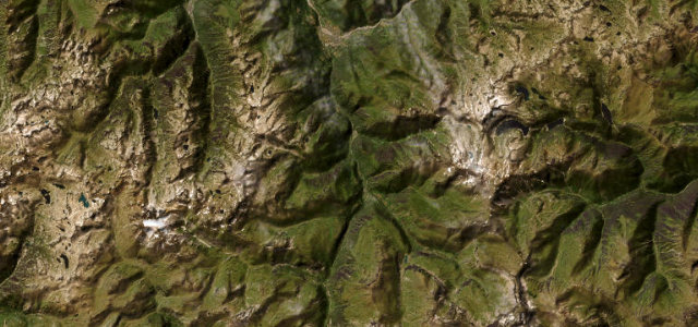
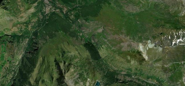
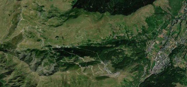
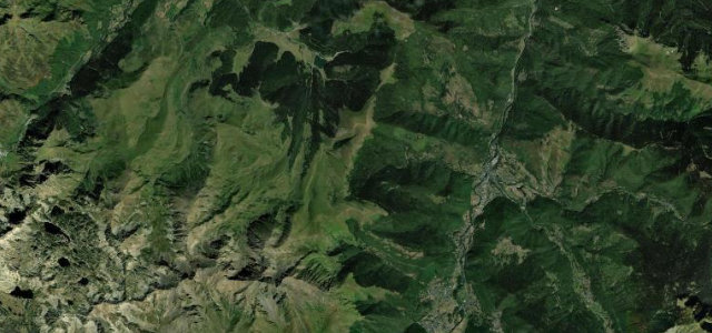
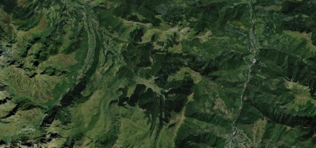
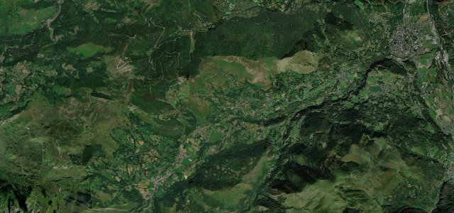
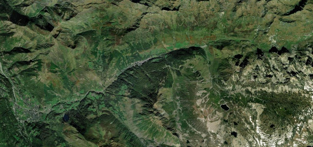
The D918 over the Col du Tourmalet at 2,115 m is the most-climbed summit in Tour de France history, a long, exposed ascent through the high Pyrenees between Luz-Saint-Sauveur and the Col. Steady and spectacular; expect cyclists in numbers, livestock on the open upper slopes, and winter closure.
The most-climbed col in Tour de France history. Long, exposed, and utterly iconic.
Why we picked it
Scenery
Best seasons
In these collections
Where it runs11.8 mi · point to point
Navigate to the start: Apple Maps · Google Maps
Character
Corners
busiest around mile 4Elevation
under 4%4–8%over 8%729.8 – 2,110.4 mPoints of interest1 stop
- Le GéantLandmark12 mi in
Hazards
- Cyclists in large numbers
- Livestock on the open slopes
- Closed in winter
Is Col du Tourmalet open? Typical season and live summit weather ›
Sources
“The legendary Col du Tourmalet is one of the world's top roads.”
Verified route: mapped from real road geometry and fact-checked by a human editor. How roads get checked
Driving the Col du Tourmalet: quick answers
How long does it take to drive the Col du Tourmalet?
How difficult is the Col du Tourmalet to drive?
When is the best time to drive the Col du Tourmalet?
Nearby roads
The closest great drives to Col du Tourmalet.