Hautes-Pyrénées · France
Col du Soulor
D918Argeles-Gazost to Col du Soulor
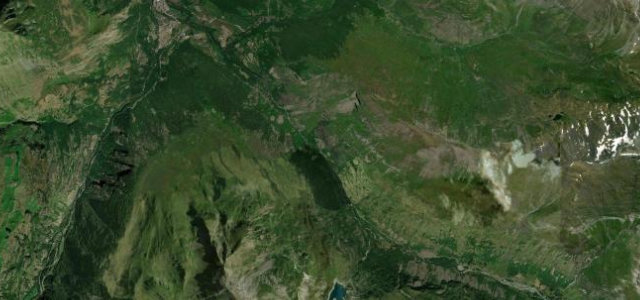
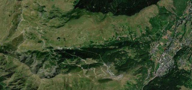
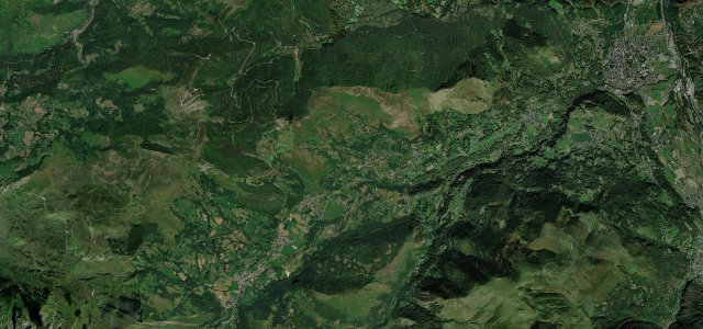
A grand Pyrenean pass whose cliff-cut balcony toward the Aubisque, the Cirque du Litor, is one of the most dramatic roads in the range.
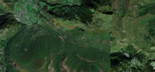
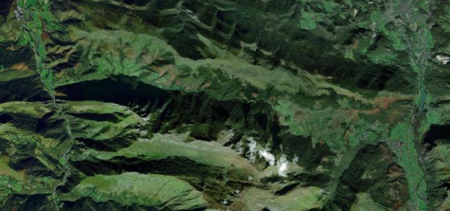
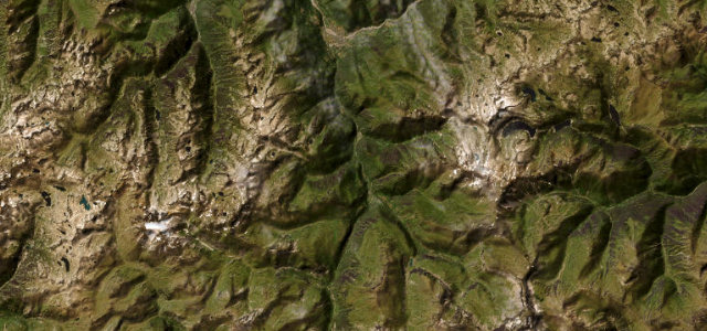
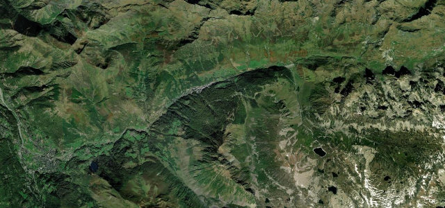
The D918 climbs from Argeles-Gazost to the 1474 metre Col du Soulor through green pastoral foothills, but the showpiece is the continuation west toward the Col d’Aubisque. There the road is literally cut into the cliff face across the Cirque du Litor, a hanging balcony with the valley dropping away below and almost nothing between the tarmac and the void. The Soulor and Aubisque have been Tour de France territory since 1910 and the pair is among the most revered crossings in the Pyrenees. The climb itself is steady rather than savage, but the exposure on the Litor balcony is real. Open roughly May to October. Mind the unbarriered drops on the cliff section, free-roaming livestock and cattle on the open pastures, and lingering snow or fog that can shroud the high balcony without warning.
Scenery
Best seasons
In these collections
Where it runs12.0 mi · point to point
Navigate to the start: Apple Maps · Google Maps
Character
Corners
busiest around mile 9Elevation
under 4%4–8%over 8%467.1 – 1,467.2 mFrom the road
Points of interest2 stops
- Col du SoulorViewpoint12 mi in
- Monument aux GéodésiensLandmark0.8 mi in
Hazards
- Unbarriered cliff drops on the Cirque du Litor balcony
- Free-roaming livestock on open pasture
- Snow and fog on the high balcony
Sources
“It's one of the most scenic Balcony Roads in the country.”
Verified route: mapped from real road geometry and fact-checked by a human editor. How roads get checked
Driving the Col du Soulor: quick answers
How long does it take to drive the Col du Soulor?
How difficult is the Col du Soulor to drive?
When is the best time to drive the Col du Soulor?
Nearby roads
The closest great drives to Col du Soulor.