Nouvelle-Aquitaine · France
Col de Marie-Blanque
D294Escot to Bielle
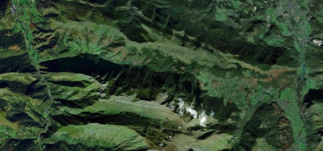
Steep, narrow western-Pyrenees pass between the Aspe and Ossau valleys.
This 1,035 m pass in the Pyrenees-Atlantiques links Escot in the Aspe valley with Bielle in the Ossau valley on the D294. The Escot side is the hard one, with a sustained final few kilometres around 11 to 13 percent, and it features regularly in the Tour de France. Mind the abrupt steep ramps, narrow lanes and shaded damp sections under forest cover.
Scenery
MountainForestValley
Best seasons
SpringSummerAutumn
In these collections
Where it runs12.3 mi · point to point
EscotStart · Nouvelle-Aquitaine
BielleEnd · Nouvelle-Aquitaine
Navigate to the start: Apple Maps · Google Maps
Character
Corners28bends
Tightness6of 10
Max gradient13%≈ 1-in-8
Hairpins4tight bends
Climb784 mtotal ascent
Summit1,040.4 mhighest point of the line · 3,413 ft
Corners
busiest around mile 10Elevation
under 4%4–8%over 8%331.6 – 1,040.4 mFrom the road
Points of interest3 stops
- Col du PorteigtViewpoint9.0 mi in
- Col de Marie-BlanqueViewpoint5.6 mi in
- Mémorial DéportationLandmark9.7 mi in
Hazards
- Steep narrow final kilometres
- Damp shaded forest tarmac
- Cyclists on the climb
Sources
“it's much steeper than your average Pyrenean pass, a fact that's ruined the day for tourists and Tour riders alike”
Verified route: mapped from real road geometry and fact-checked by a human editor. How roads get checked
Driving the Col de Marie-Blanque: quick answers
How long does it take to drive the Col de Marie-Blanque?
Col de Marie-Blanque runs 12.3 miles (20 km) and takes about 26 min to drive without stops.
How difficult is the Col de Marie-Blanque to drive?
We rate it demanding: 28 corners including 4 hairpins, a maximum gradient of 13%, and a tightness of 6 out of 10.
When is the best time to drive the Col de Marie-Blanque?
Spring and Summer and Autumn are best.
Nearby roads
The closest great drives to Col de Marie-Blanque.
Col de Marie-Blanque
DirectionsGet the app