Nouvelle-Aquitaine · France
Port de Larrau
D26NA-2011Larrau to Ochagavía / Otsagabia
Remote high border pass between French Basque country and Navarre.
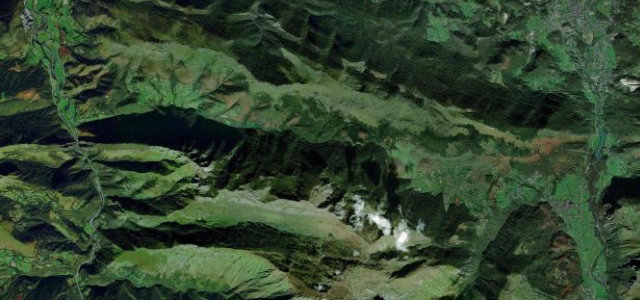
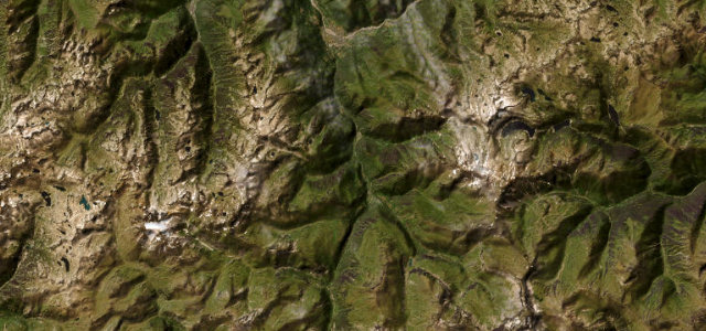
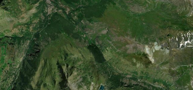
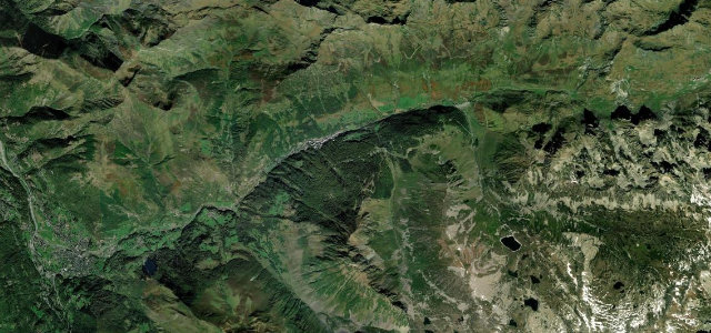
The Port de Larrau crosses the France-Spain border at 1,578 m in the western Pyrenees, linking Larrau on the French D26 with Ochagavia in Navarre on the NA-2011. It is a long, exposed and lightly trafficked climb with sustained 10 percent grades, rated hors categorie in the Tour de France. Mind the high exposure, frequent fog and the road being closed or snowbound in winter.
Scenery
Best seasons
In these collections
Where it runs14.0 mi · point to point
Navigate to the start: Apple Maps · Google Maps
Character
Corners
busiest around mile 2Elevation
under 4%4–8%over 8%629.7 – 1,594 mFrom the road
Points of interest3 stops
- Erroimendy 1350 mViewpoint4.6 mi in
- Pikatuako BegiratokiaViewpoint9.4 mi in
- Larraineko mendateaViewpoint7.4 mi in
Hazards
- High exposure and sudden fog
- Winter closure and snow
- Free-roaming livestock
Is Port de Larrau open? Typical season and live summit weather ›
Sources
“This is one of the toughest climbs in the Pyrenees, with a maximum slope of 15 %.”
Verified route: mapped from real road geometry and fact-checked by a human editor. How roads get checked
Driving the Port de Larrau: quick answers
How long does it take to drive the Port de Larrau?
How difficult is the Port de Larrau to drive?
When is the best time to drive the Port de Larrau?
Nearby roads
The closest great drives to Port de Larrau.