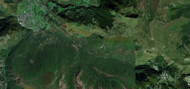
Nouvelle-Aquitaine · France
Col d'Aubisque
D918Laruns to Béost
A balcony road across the high Pyrenees.
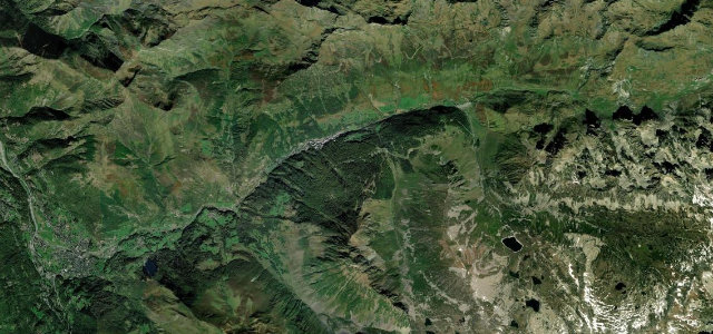
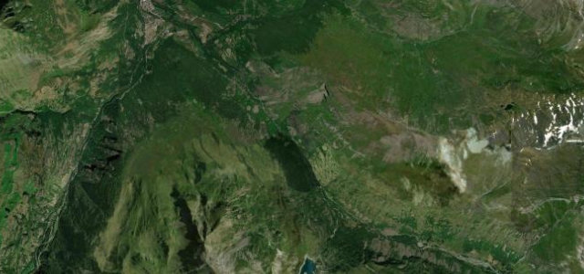
The D918 over the Col d’Aubisque at 1,709 m is one of the great Pyrenean Tour de France climbs, running on to the Col du Soulor along an airy balcony cut into the mountainside. Sweeping and exposed; mind the sheer drops past the galleries, the livestock, and the cyclists in numbers.
A balcony road strung high along the Pyrenees, corners arriving in long, breathing arcs before it tips you into the Cirque du Litor. We come back for those.
Why we picked it
Scenery
MountainValley
Best seasons
SummerAutumn
In these collections
Where it runs10.7 mi · point to point
LarunsStart · Nouvelle-Aquitaine
BéostEnd · Nouvelle-Aquitaine
Navigate to the start: Apple Maps · Google Maps
Character
Corners36bends
Tightness6of 10
Max gradient10%≈ 1-in-10
Hairpins7tight bends
Climb1,217 mtotal ascent
Summit1,705.7 mhighest point of the line · 5,596 ft
Corners
busiest around mile 4Elevation
under 4%4–8%over 8%505.5 – 1,705.7 mFrom the road
Points of interest2 stops
- Col d’AubisqueViewpoint11 mi in
- NapoléonLandmark8.1 mi in
Hazards
- Sheer drops past the galleries
- Livestock on the road
- Cyclists in numbers
Sources
“The drive offers sweeping panoramas steeped in legend and provides lots of driving pleasure.”
Verified route: mapped from real road geometry and fact-checked by a human editor. How roads get checked
Driving the Col d'Aubisque: quick answers
How long does it take to drive the Col d'Aubisque?
Col d’Aubisque runs 10.7 miles (17 km) and takes about 22 min to drive without stops.
How difficult is the Col d'Aubisque to drive?
We rate it demanding: 36 corners including 7 hairpins, a maximum gradient of 10%, and a tightness of 6 out of 10.
When is the best time to drive the Col d'Aubisque?
Summer and Autumn are best.
Nearby roads
The closest great drives to Col d'Aubisque.
Col d'Aubisque
DirectionsGet the app