Hautes-Pyrénées · France
Cirque de Gavarnie
D921Luz-Saint-Sauveur to Gavarnie
The valley road to a UNESCO-listed Pyrenean cirque and its great waterfall.
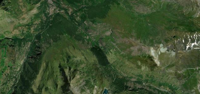
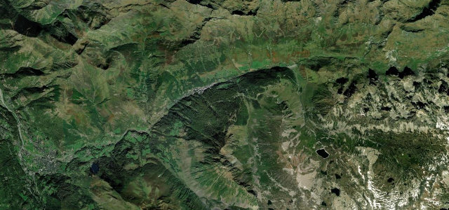
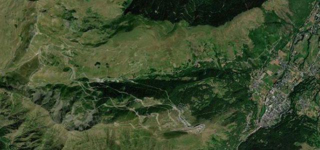
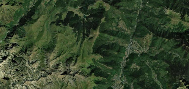
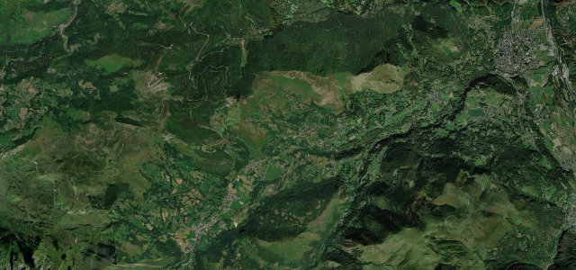
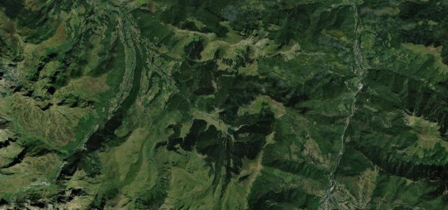
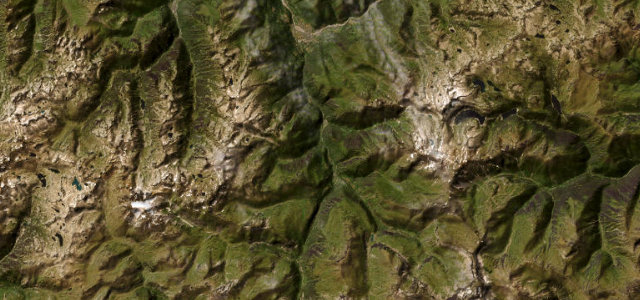
The D921 runs south from Luz-Saint-Sauveur through Gèdre to the village of Gavarnie, the gateway to a colossal natural amphitheatre crowned by one of Europe’s highest waterfalls and listed by UNESCO as part of Pyrénées-Mont Perdu. The drive climbs steadily up a tightening glacial valley, passing the old Pont Napoléon, with the cirque walls filling the windscreen on the approach. It is scenic and steady rather than technical. Mind the heavy summer tourist traffic, narrow stretches near the village, and winter snow and ice on the upper valley.
Where it runs11.8 mi · point to point
Navigate to the start: Apple Maps · Google Maps
Character
Corners
busiest around mile 2Elevation
under 4%4–8%over 8%687.9 – 1,378.8 mFrom the road
Points of interest1 stop
- Colonne ImpérialeLandmark1.2 mi in
Hazards
- Heavy summer tourist traffic
- Narrow village approaches
- Winter snow and ice
Sources
“Very nice road along a river going up to the Cirque de Gavarnie.”
Verified route: mapped from real road geometry and fact-checked by a human editor. How roads get checked
Driving the Cirque de Gavarnie: quick answers
How long does it take to drive the Cirque de Gavarnie?
How difficult is the Cirque de Gavarnie to drive?
When is the best time to drive the Cirque de Gavarnie?
Nearby roads
The closest great drives to Cirque de Gavarnie.