Occitania · France
Col d'Aspin
D918Arreau to Campan
A gentle, beautiful Pyrenean col through pine and pasture.
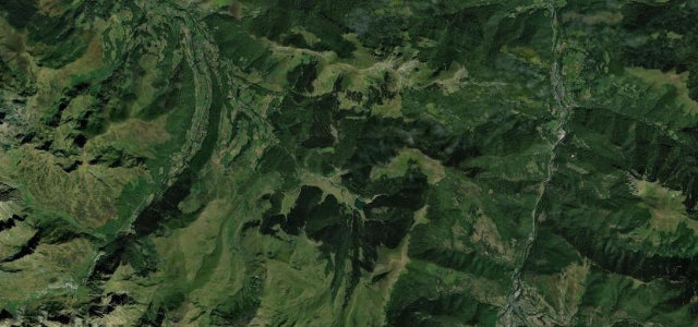
The D918 over the Col d’Aspin at 1,490 m links Arreau and Sainte-Marie-de-Campan, a gentler, greener Pyrenean climb than its neighbours, through pine forest into open pasture with views to the Pic du Midi. A Tour de France favourite; watch for the cattle and horses grazing the open road, and cyclists everywhere.
Scenery
MountainForest
Best seasons
SummerAutumn
In these collections
Where it runs16.8 mi · point to point
ArreauStart · Occitania
CampanEnd · Occitania
Navigate to the start: Apple Maps · Google Maps
Character
Corners30bends
Tightness5of 10
Max gradient8%≈ 1-in-13
Hairpins11tight bends
Climb929 mtotal ascent
Summit1,489.9 mhighest point of the line · 4,888 ft
Corners
busiest around mile 2Elevation
under 4%4–8%over 8%710.4 – 1,489.9 mFrom the road
Points of interest3 stops
- Col d’AspinViewpoint6.6 mi in
- Cap d’ArrouyeViewpoint6.1 mi in
- Eugène ChristopheLandmark14 mi in
Hazards
- Cattle and horses on the road
- Cyclists in numbers
- Narrow wooded sections
Sources
“the pass offers magnificent views and amazing panoramic scenery, especially of Lake Payolle and its pine forest, as well as the Pic du Midi observatory”
Verified route: mapped from real road geometry and fact-checked by a human editor. How roads get checked
Driving the Col d'Aspin: quick answers
How long does it take to drive the Col d'Aspin?
Col d’Aspin runs 16.8 miles (27 km) and takes about 34 min to drive without stops.
How difficult is the Col d'Aspin to drive?
We rate it moderate: 30 corners including 11 hairpins, a maximum gradient of 8%, and a tightness of 5 out of 10.
When is the best time to drive the Col d'Aspin?
Summer and Autumn are best.
Nearby roads
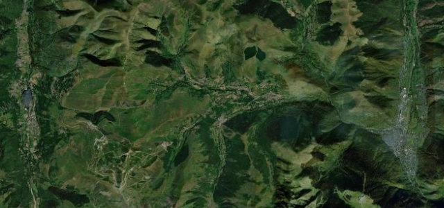
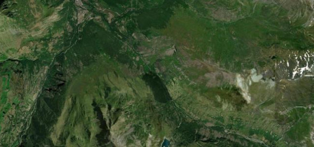
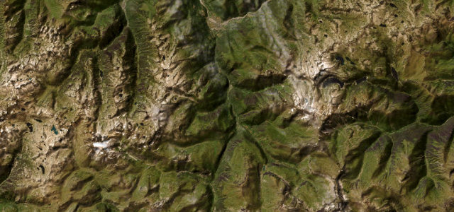
The closest great drives to Col d'Aspin.
Col d'Aspin
DirectionsGet the app