Guide
The best driving roads in Spain and Portugal
Iberia is the bargain of European driving. Empty tarmac, cheap fuel, and a peninsula that runs from Atlantic cliffs through high meseta to the Mediterranean, with the Canaries and the Balearics thrown in. These are the 41 we have mapped across Spain, Portugal and Andorra, taking in the Douro’s terraced N222, Mallorca’s coiled Sa Calobra and the volcanic caldera road on Tenerife. Each one is traced from real road geometry and fact-checked.
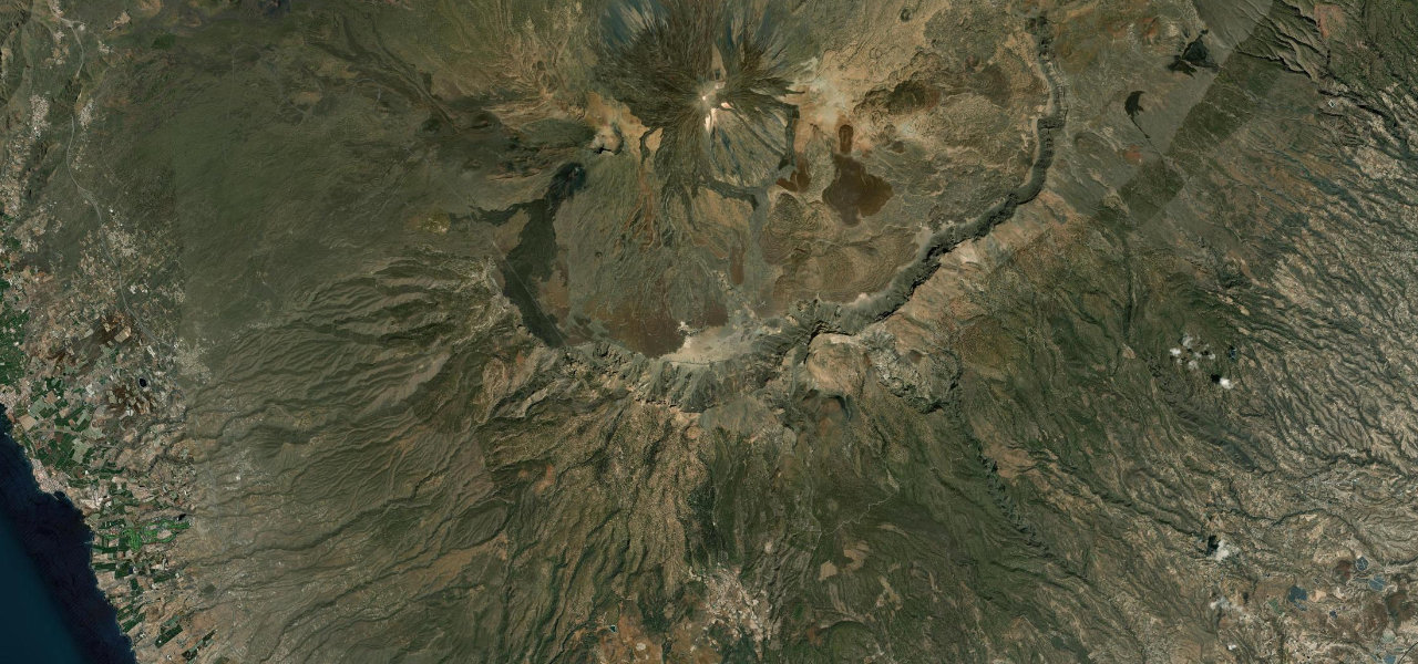 Teide Caldera Traverse20 mi · 41 min · 2,528.4 m summitView the roadbook ›
Why it makes the list
-
1
20 mi41 min
Teide Caldera Traverse
The most spectacular road in the Canaries, climbing from the Canary Islands' highest village through ancient pine forest into the lunar lava fields of Teide National Park, Mount Teide towering overhead across the caldera at over 2,000 m.
-
2
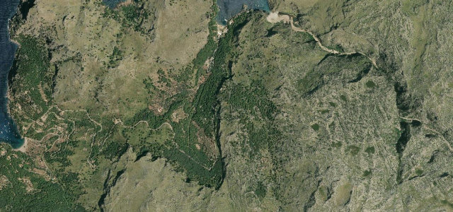 3 mi7 min
Sa Calobra
Mallorca’s coiled serpent, a road that ties itself in a knot.
-
3
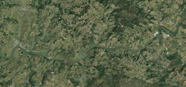 16 mi32 min
Douro Valley
Voted the world’s best driving road, through terraced vineyards above the Douro.
-
4
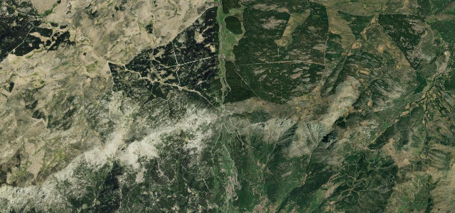 7 mi15 min
Puerto del Pico
Hairpin climb over the Sierra de Gredos beside a famous old cobbled calzada.
-
5
 6 mi13 min
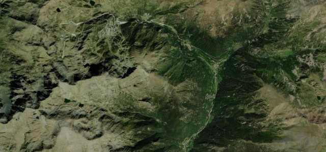
Ordino-Arcalis Road
The CG-3 climb from Ordino through El Serrat up to the Arcalis ski area and Tristaina lakes.
-
6
 12 mi25 min
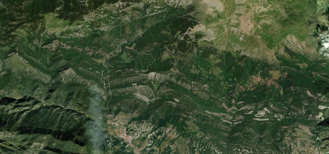
Coll de Pal
One of Catalonia’s hardest paved passes, climbing from Baga to a 2,100 m col.
-
7
 10 mi20 min
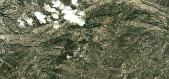
Sierra de Aitana Road
Alcoy to the Guadalest valley over the passes of inland Costa Blanca.
-
8
 14 mi32 min
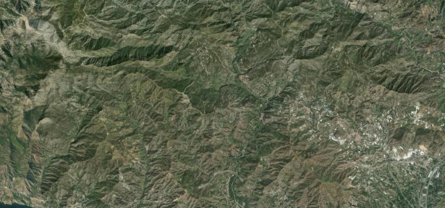
Carretera de la Cabra
The Road of the Goat, a serpentine old mule route from the Granada hills to the Tropical Coast.
-
9
 8 mi16 min
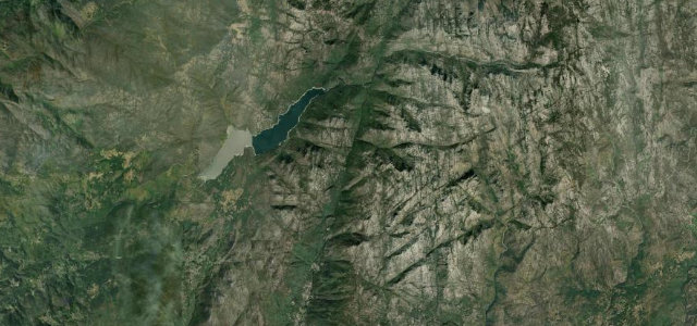
Peneda-Gerês Forest Road (Mata da Albergaria)
A storied national road (N308-1) climbing through the ancient Mata da Albergaria oakwood in Peneda-Geres National Park to the Portela do Homem pass on the Spanish border.
-
10
 5 mi11 min
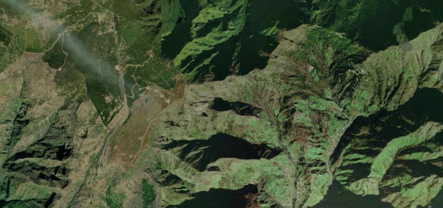
Encumeada to Paul da Serra
The high mountain road climbing from the Encumeada pass onto Madeira’s Paul da Serra plateau, with the Lombo do Mouro hairpin and Bica da Cana viewpoint.
-
11
 7 mi16 min
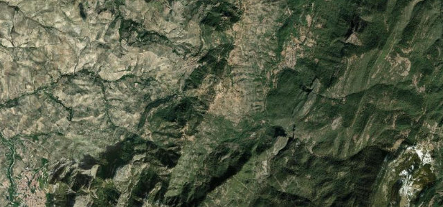
Puerto de las Palomas (Cazorla)
Cazorla mountain pass with a famous Guadalquivir-valley mirador.
-
12
 18 mi38 min
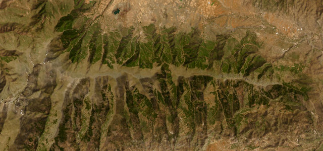
Puerto de la Ragua
The only road crossing of the Sierra Nevada, topping out above 2,000 m.
-
13
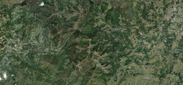 24 mi48 min
Serra do Marão Road
Every journey into Trás-os-Montes once came over this mountain, until the A4 tunnel took the traffic and left the EN 15 to people like us.
-
14
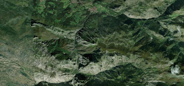 5 mi13 min
Cabrales to Sotres Road
A narrow ramp to one of the highest villages in the Picos de Europa.
-
15
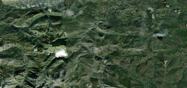 12 mi22 min
Desfiladero de La Hermida
Spain’s longest gorge, where the N-621 threads a deep limestone canyon beside the Deva river into the eastern Picos de Europa.
-
16
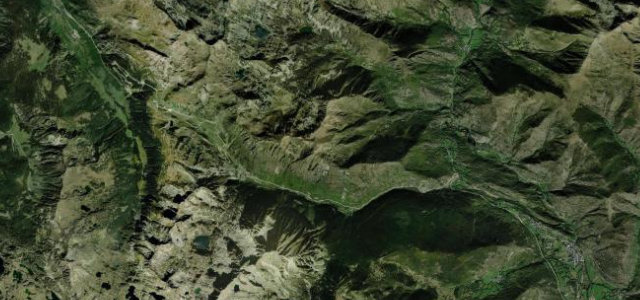 15 mi31 min
Port de la Bonaigua
Through pine and out into open mountain above 2,000 m, cresting at a stark summit before the drop into the Val d’Aran.
-
17
 4 mi9 min
Coll d'Ordino
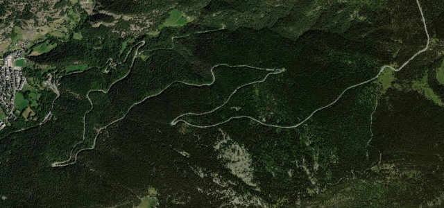
Seventeen hairpins stacked through the trees above Ordino, topping out near 1,980 m with the valley floor far below.
-
18
 22 mi47 min
Puerto de San Glorio
Long hairpin climb over the Picos de Europa.
-
19
 10 mi24 min
Desfiladero de los Beyos
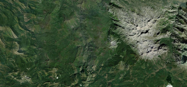
Narrow national road threading one of Europe’s tightest driveable gorges on the Sella.
-
20
 7 mi14 min
Puerto de Pajares
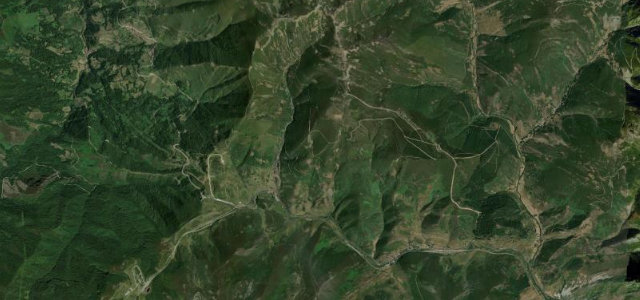
Historic Cantabrian pass linking Asturias with Leon at 1,378 m.
-
21
 6 mi16 min
Coll de Sóller (Ma-11A)
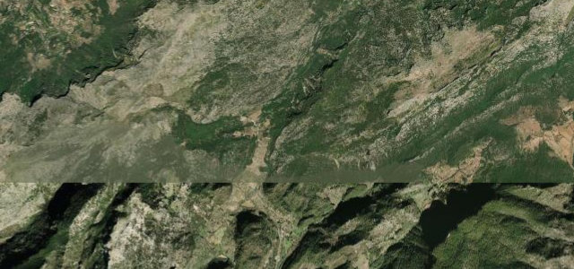
The old pass road over the Tramuntana into Sóller, more than fifty hairpins packed into a handful of miles, left almost to itself since the tunnel opened in 1997.
-
22
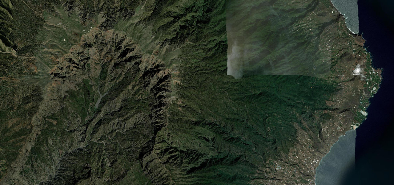 21 mi55 min
Roque de los Muchachos
A relentless ascent from sea level to 2,426 m through pine forest and bare rock to one of the world’s premier observatories, climbing so steeply that drivers emerge above the clouds with views across three other Canary Islands.
-
23
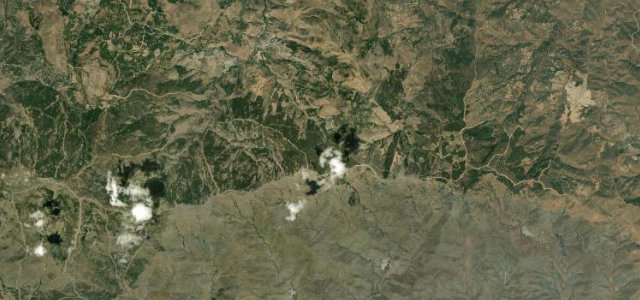 15 mi38 min
Alto de Velefique
Roughly two dozen hairpins climb from the semi-desert at Velefique to a bare 1791 m crest of the Sierra de los Filabres, a Vuelta summit finish with hardly any traffic.
-
24
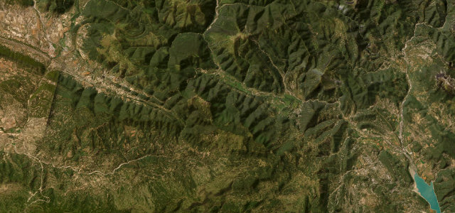 31 mi1 h 4 min
Eje Pirenaico (Ordesa)
The Pyrenean Axis through the Sobrarbe canyons toward Ordesa and Biescas.
-
25
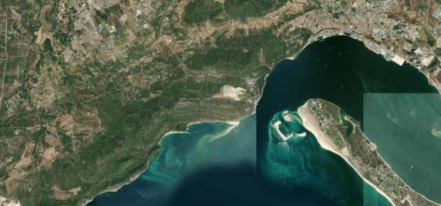 12 mi25 min
Serra da Arrábida
The Estrada de Escarpa does exactly what the name promises: 14 km riding the Arrabida ridge high above Setubal and Sesimbra, the Atlantic nearly 390 m below.
-
26
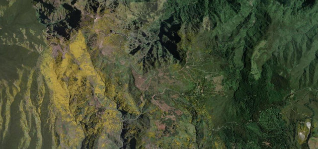 4 mi8 min
Pico do Arieiro
The only big Madeiran summit you can drive to: from Poiso the ER202 hairpins up to Pico do Arieiro, the island’s third highest peak at 1,818 m.
-
27
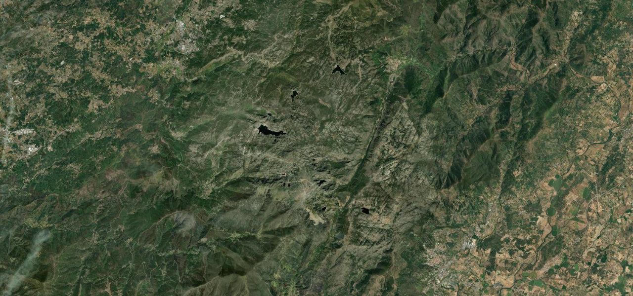 28 mi59 min
Serra da Estrela Summit Road
The only road over Torre, mainland Portugal’s highest point at 1,993 m, sweeping across a bare granite plateau of glacial valleys and tarns with views that can reach the Atlantic.
-
28
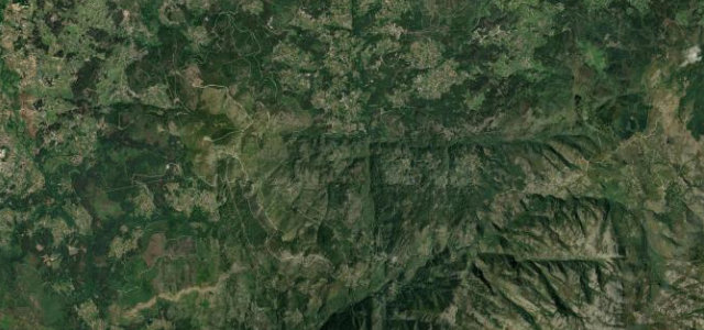 8 mi17 min
Estrada do Soajo
The old N304 climbs the Serra do Soajo above Sistelo and the Vez valley, its near-empty curves the sort motoring writers prize.
-
29
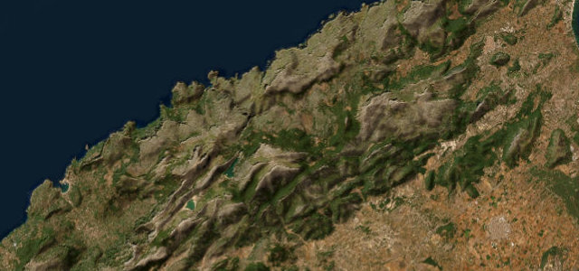 35 mi1 h 9 min
Serra de Tramuntana (Ma-10)
The mountain spine of Mallorca, running the length of the UNESCO-listed Serra de Tramuntana past reservoirs, viewpoints and the island’s highest peaks.
-
30
 11 mi27 min
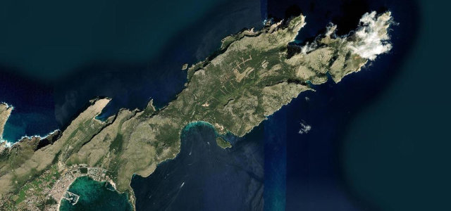
Cap de Formentor
The same Parietti engineering as Sa Calobra, about 18 km of tight bends, rock tunnels and sea cliffs out to a lighthouse that has stood since 1863.
Common questions
Which road tops this guide?
How many roads are in this guide?
How is the ranking decided?
More guides
 Guide · 29 roads ranked
The best driving roads in Japan
Japan builds roads the way it builds everything else, which is to say properly.
Read the guide › Guide · 30 roads ranked
The best driving roads in Scandinavia and the Nordics
Nowhere rewards a patient drive like the Nordics.
Read the guide › Guide · 13 roads ranked
The best driving roads in South America
South America drives on a scale Europe cannot match.
Read the guide ›