Vila Real · Portugal
Serra do Marão Road
EN 15Amarante to Vila Real
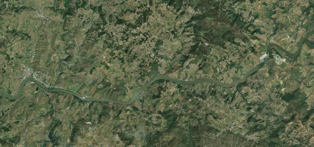
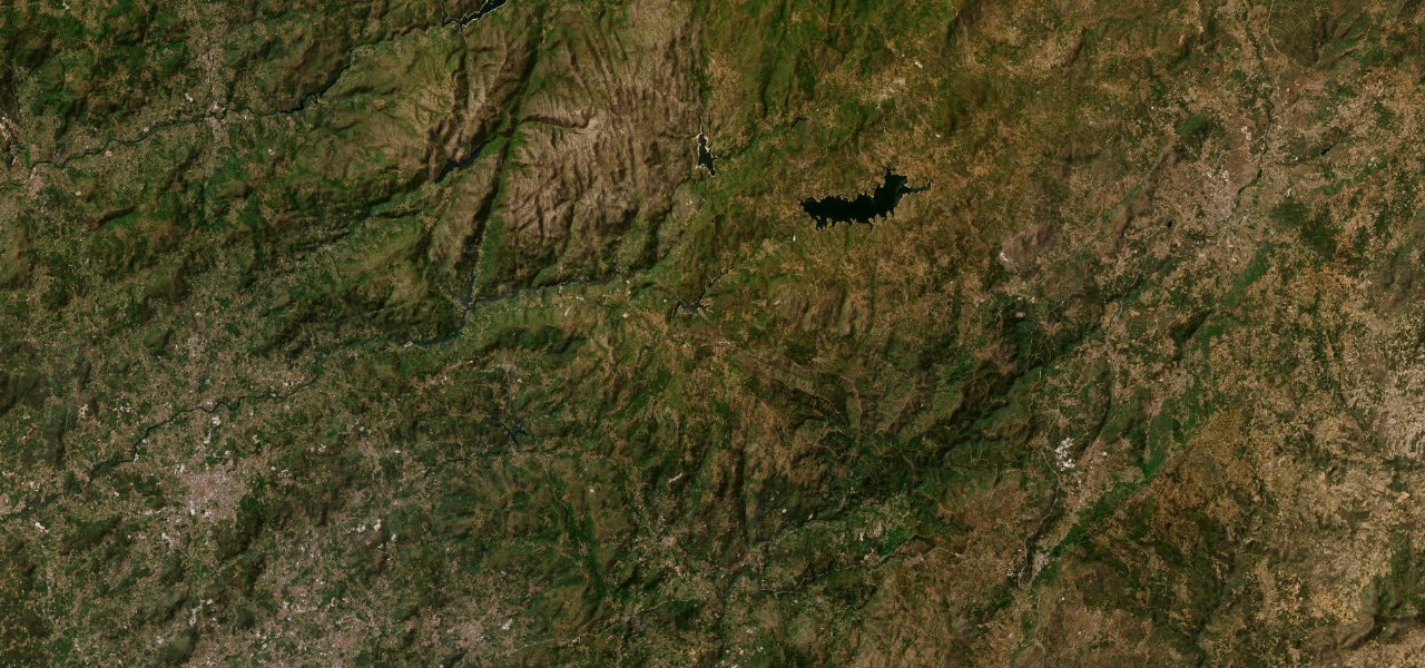
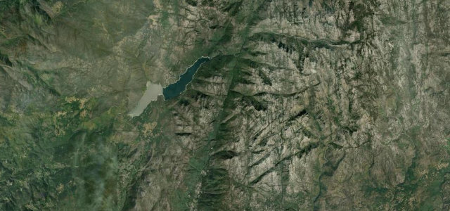
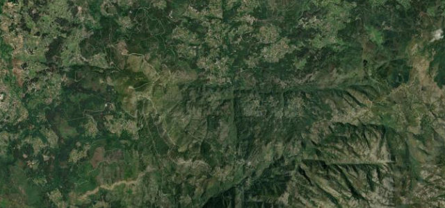
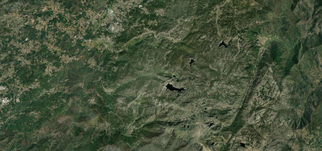
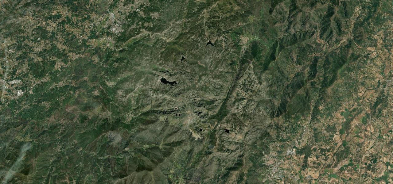
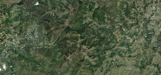
Every journey into Trás-os-Montes once came over this mountain, until the A4 tunnel took the traffic and left the EN 15 to people like us. Amarante to Vila Real across the granite tops around 1,000 m, a long flowing string of curves with hardly anyone on it.
Before the A4 tunnel pierced the mountain, every journey from the Douro Litoral into Trás-os-Montes crossed the Serra do Marão on the EN 15, and that old road remains one of northern Portugal’s finest drives. It climbs from Amarante in the Tâmega valley through chestnut and pine to the granite tops near Alto do Espinho around 1,000 m, then descends the eastern flank into Vila Real. With the motorway taking the through traffic, the EN 15 is now quiet, a long, flowing string of curves and counter-curves with broad valley panoramas and a scattering of miradouros. The surface is good two-lane asphalt. Mind drifting mist and low cloud on the summit stretch, slick leaves and damp granite in autumn, and slow local and farm traffic on blind bends.
Where it runs24.1 mi · point to point
Navigate to the start: Apple Maps · Google Maps
Character
Corners
busiest around mile 3Elevation
under 4%4–8%over 8%197.3 – 1,021 mFrom the road
Points of interest3 stops
- Centenário da Florestação da Serra do MarãoLandmark12 mi in
- Cruzeiro de Parada de CunhosLandmark24 mi in
- Queda de água do Ribeiro dos AzibaisLandmark15 mi in
Hazards
- Drifting mist on the summit stretch
- Slick leaves and damp granite in autumn
- Slow local traffic on blind bends
Sources
“a succession of tight switchbacks, narrow lanes, and blind curves with a maximum gradient of 9.2%”
Verified route: mapped from real road geometry and fact-checked by a human editor. How roads get checked
Driving the Serra do Marão Road: quick answers
How long does it take to drive the Serra do Marão Road?
How difficult is the Serra do Marão Road to drive?
When is the best time to drive the Serra do Marão Road?
Nearby roads
The closest great drives to Serra do Marão Road.