Minho / Trás-os-Montes · Portugal
Estrada Nacional 103
EN 103Braga to Chaves
Widely called Portugal’s best road, 84 miles Braga to Chaves.
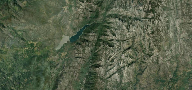
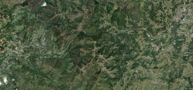
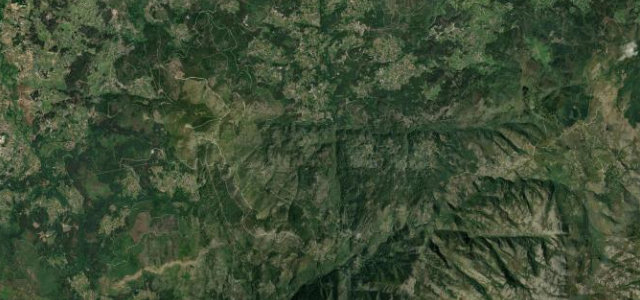
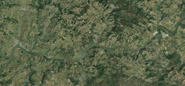
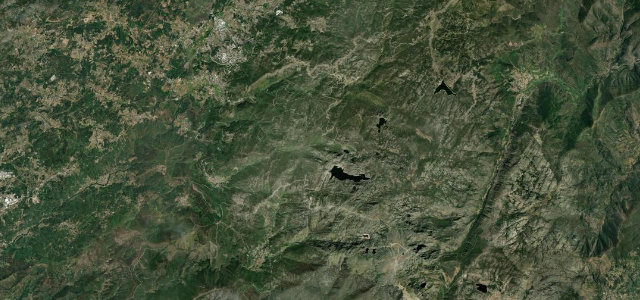
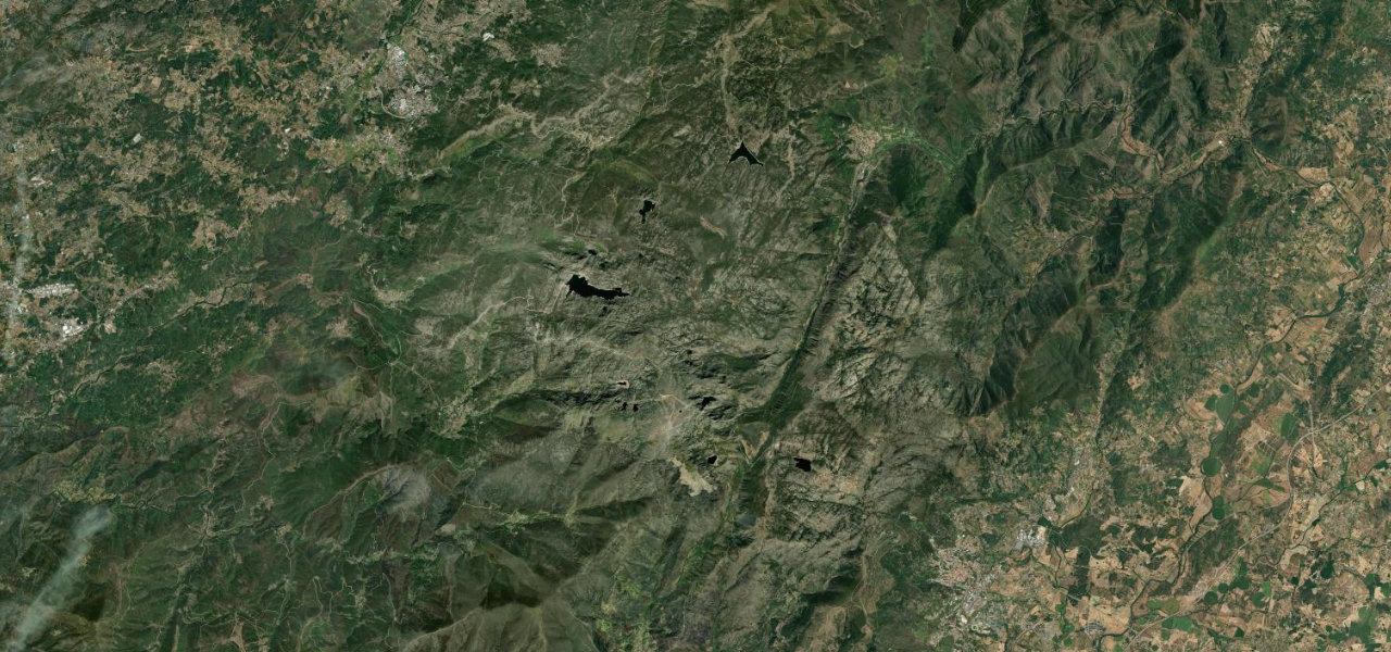
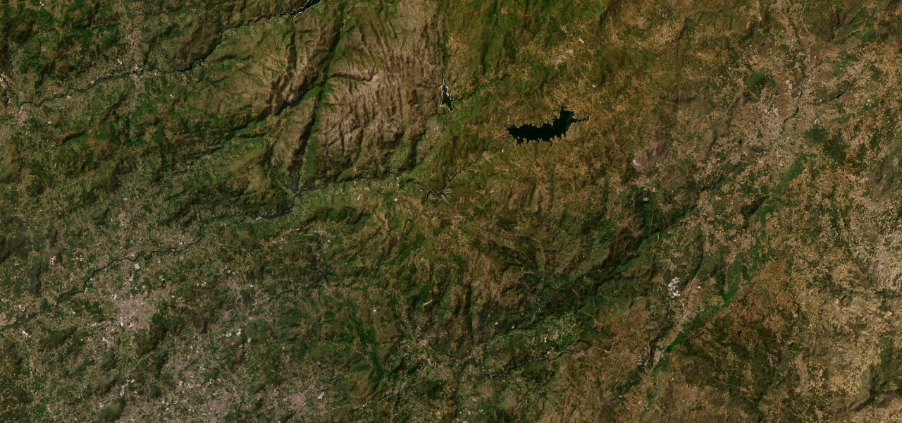
Ask Portuguese drivers for the best road in the country and the EN103 comes up again and again: eighty-odd miles across the top of the land from Braga to the spa town of Chaves, following the Cávado valley east in fast, open sweepers before swinging north into the Barroso highlands and tightening into proper mountain twisties. It strings together a chain of reservoirs, skirts the southern edge of the Peneda-Gerês national park, and crosses the empty Barroso plateau where long-horned cattle graze the open range. Snow can dust the high sections around Montalegre in winter, and the open sweepers tempt overtaking, so read the closing speeds. A genuinely great day’s drive that almost no one outside Portugal knows.
Where it runs82.3 mi · point to point
Navigate to the start: Apple Maps · Google Maps
Character
Elevation
under 4%4–8%over 8%126 – 924 mThe strip below the profile is corner density: taller, warmer ticks mean tighter bends.
Points of interest3 stops
- Barragem da CaniçadaViewpoint23 mi in
- Vilarinho de NegrõesViewpoint55 mi in
- Ponte de Trajano, ChavesLandmark80 mi in
Hazards
- Winter snow and ice possible on the exposed Barroso highland section
- Fast open sweepers in the western half tempt overtaking, long sightlines mask closing speeds
- Reservoir-side and plateau stretches have limited barriers and open-range cattle
Verified route: mapped from real road geometry and fact-checked by a human editor. How roads get checked
Driving the Estrada Nacional 103: quick answers
How long does it take to drive the Estrada Nacional 103?
How difficult is the Estrada Nacional 103 to drive?
When is the best time to drive the Estrada Nacional 103?
Nearby roads
The closest great drives to Estrada Nacional 103.