Norte · Portugal
Peneda-Gerês Forest Road (Mata da Albergaria)
N308-1Vila do Gerês to Portela do Homem
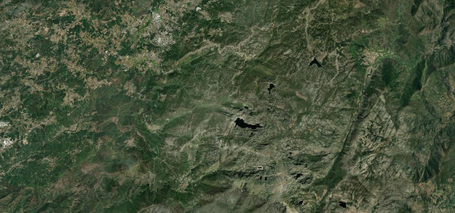
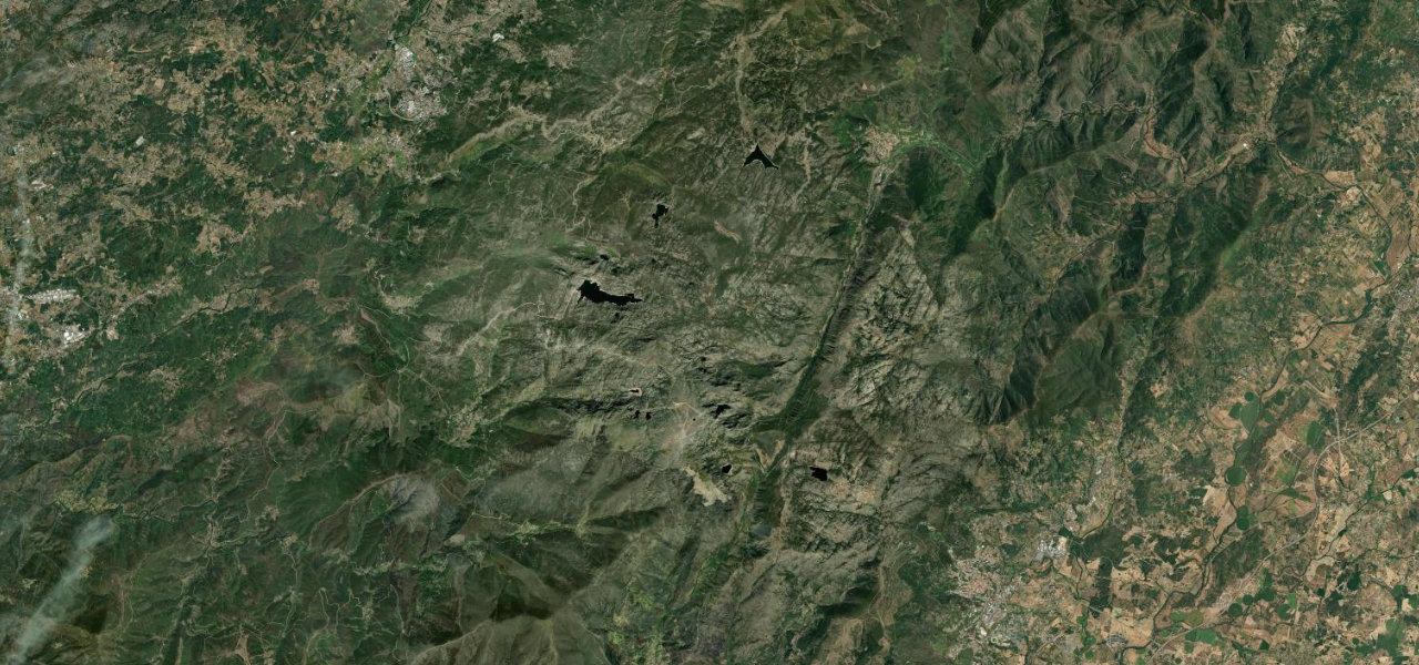
A storied national road (N308-1) climbing through the ancient Mata da Albergaria oakwood in Peneda-Geres National Park to the Portela do Homem pass on the Spanish border.
From the spa village of Geres the N308-1 winds up through the Mata da Albergaria, one of Portugal’s last great native oak and laurel forests, following the old Geira Roman road toward the Portela do Homem pass at the Spanish frontier. It is a narrow, green, dappled drive past waterfalls and granite, deep inside the country’s only national park. Access through the protected heart of the reserve is controlled, with a barrier and a small charge or time limits in the busy season, and motor traffic can be barred entirely on summer weekends, so check before setting off. There are no fuel stops inside the park. Mind the controlled reserve barrier and seasonal access limits, a narrow single-track surface under dense canopy, and no fuel anywhere inside the park.
Where it runs7.7 mi · point to point
Navigate to the start: Apple Maps · Google Maps
Character
The most hairpins in Portugal, by our count in the catalogue.
Corners
busiest around mile 2Elevation
under 4%4–8%over 8%359 – 867.2 mFrom the road
Points of interest3 stops
- Preguiça viewpointViewpoint2.4 mi in
- Cascata da LajaLandmark2.8 mi in
- Cascata de LeonteLandmark3.7 mi in
Hazards
- Controlled reserve barrier and seasonal access limits
- Narrow single-track surface under dense canopy
- No fuel anywhere inside the park
Sources
“It is fully paved but features narrow sections and 18 hairpin turns, offering stunning views from several natural viewpoints.”
Verified route: mapped from real road geometry and fact-checked by a human editor. How roads get checked
Driving the Peneda-Gerês Forest Road (Mata da Albergaria): quick answers
How long does it take to drive the Peneda-Gerês Forest Road (Mata da Albergaria)?
How difficult is the Peneda-Gerês Forest Road (Mata da Albergaria) to drive?
When is the best time to drive the Peneda-Gerês Forest Road (Mata da Albergaria)?
Nearby roads
The closest great drives to Peneda-Gerês Forest Road (Mata da Albergaria).