Serra da Estrela · Portugal
Serra da Estrela Summit Road
N339Seia to Covilha
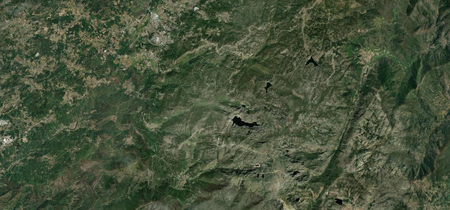
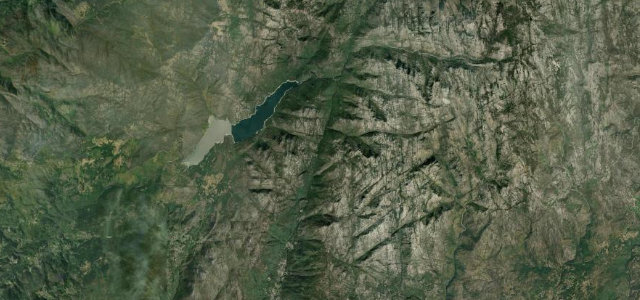
The only road over Torre, mainland Portugal’s highest point at 1,993 m, sweeping across a bare granite plateau of glacial valleys and tarns with views that can reach the Atlantic.
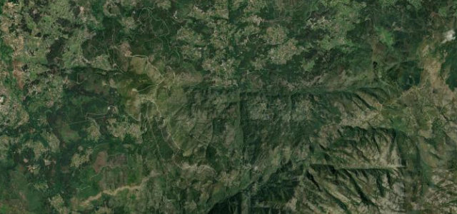
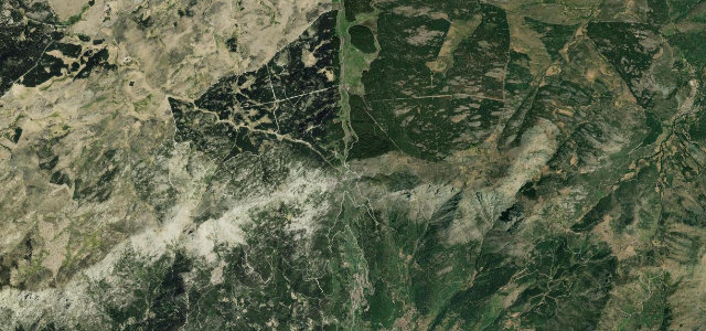
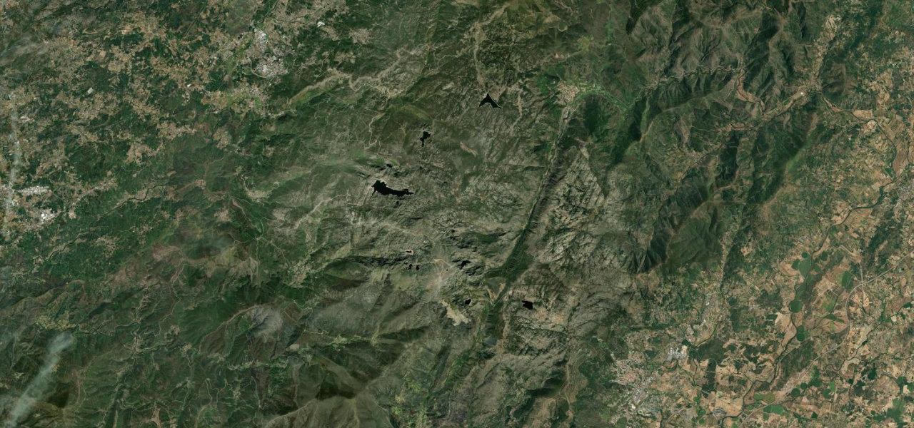
From Seia the N339 climbs steeply out of the foothills onto the roof of mainland Portugal, the trees thinning to bare granite, glacial cirques and high tarns. It crests beside Torre at 1,993 m, the only summit on the mainland high enough to hold reliable winter snow and a small ski lift, before descending the eastern flank past the Covao dos Conchos toward Covilha. Exposed, elemental and little known beyond Portugal, it is a true high-mountain drive.
Scenery
Where it runs
Navigate to the start: Apple Maps · Google Maps
Character
Elevation
under 4%4–8%over 8%531 – 1,936 mPoints of interest
- Vale da Nave Travessa (Albufeira da Barragema do Covão do CurralViewpoint
- Miradouro do CovãoViewpoint
- Miradouro do Vale de LorigaViewpoint
Hazards
- Snow and ice can close the summit in winter
- Sudden cloud and high wind on the exposed plateau
- Loose grit on bends after weathering
- Slow-moving sightseeing traffic near Torre
See the typical season and live conditions for the high passes ›
Sources: Road geometry © OpenStreetMap contributors
Nearby roads
The closest great drives to Serra da Estrela Summit Road.