Vila Real · Portugal
Douro Valley
N222Peso da Régua to Pinhão
Voted the world’s best driving road, through terraced vineyards above the Douro.
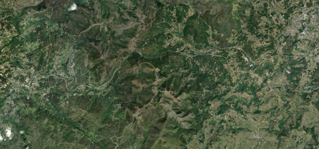
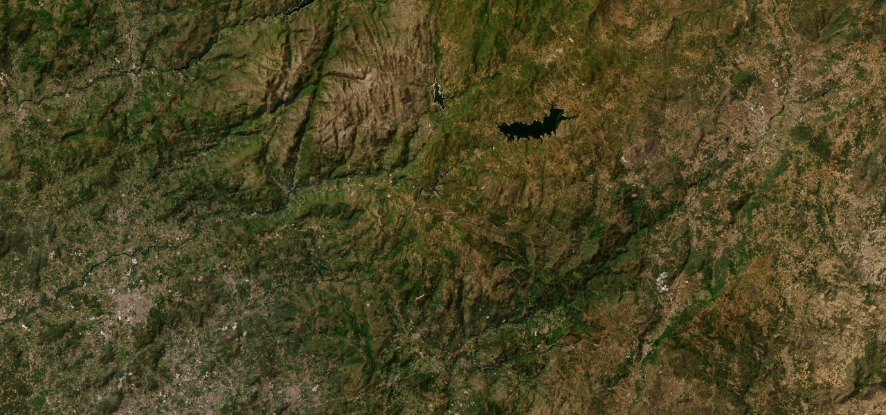
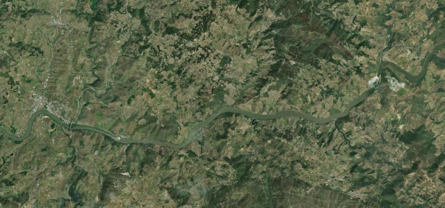
The N222 between Peso da Régua and Pinhão hugs the Douro through the world’s oldest demarcated and regulated wine region, its bends laid out above terraces of vines that tumble to the river. Once voted the best driving road on earth, it is a flowing, sun-drenched joy, pause at a quinta, but keep your eyes on the camber.
Crowned the world’s best driving road in a much-cited study. The N222 traces the terraced Douro wine valley above the river, corner after sweeping corner.
Why we picked it
Scenery
Best seasons
In these collections
In these guides
Where it runs16.1 mi · point to point
Navigate to the start: Apple Maps · Google Maps
Character
Corners
busiest around mile 13Elevation
under 4%4–8%over 8%45 – 111.9 mFrom the road
Points of interest2 stops
- Varanda para o DouroViewpoint6.9 mi in
- Vista sobre o DouroViewpoint7.3 mi in
Hazards
- Drops to the river
- Slow vineyard and tourist traffic
- Heat haze in summer
Sources
“Avis has crowned Portugal's N-222 as 'the road that offers the best driving experience in the world'”
Verified route: mapped from real road geometry and fact-checked by a human editor. How roads get checked
Driving the Douro Valley: quick answers
How long does it take to drive the Douro Valley?
How difficult is the Douro Valley to drive?
When is the best time to drive the Douro Valley?
Nearby roads
The closest great drives to Douro Valley.