Guarda · Portugal
Serra da Estrela
N339Seia to Loriga
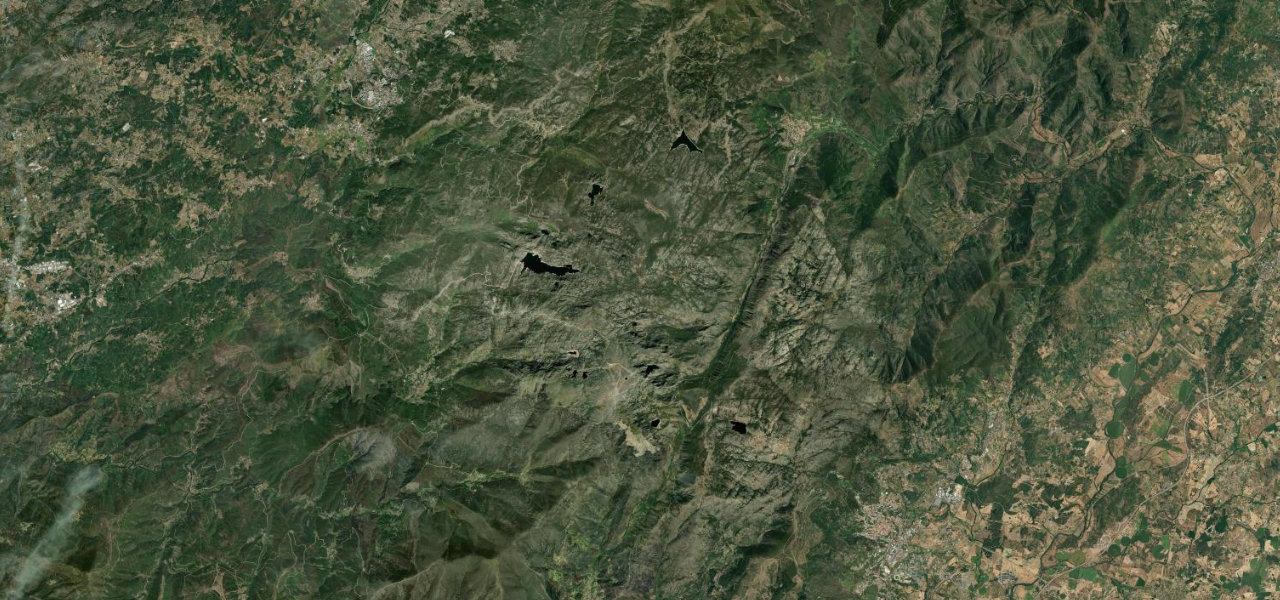
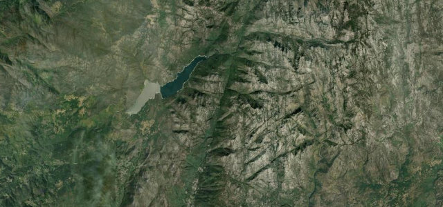
The N339 climbs from Seia into bare granite and glacial valleys, home in winter to Portugal’s only ski slopes, then drops to Loriga. Cyclists and free-roaming livestock share the long climb.
The N339 climbs out of Seia into the bare granite heart of the Serra da Estrela, sweeping through glacial valleys that hold the country’s only ski slopes in winter, then drops to Loriga on the far side. Watch for snow and fog on the high ground, free-roaming livestock, and cyclists on the long climb.
Where it runs18.3 mi · point to point
Navigate to the start: Apple Maps · Google Maps
Character
The highest road in Portugal, by our count in the catalogue.
Corners
busiest around mile 8Elevation
under 4%4–8%over 8%505.3 – 1,990.2 mFrom the road
Points of interest2 stops
- Miradouro do Vale de LorigaViewpoint17 mi in
- Covão do CurralViewpoint11 mi in
Hazards
- Snow and fog at altitude
- Free-roaming livestock
- Cyclists on the climb
Sources
“The views are spectacular, and on a bright day, you can see the Atlantic Ocean over 100 miles (161 km) in the distance.”
Verified route: mapped from real road geometry and fact-checked by a human editor. How roads get checked
Driving the Serra da Estrela: quick answers
How long does it take to drive the Serra da Estrela?
How difficult is the Serra da Estrela to drive?
When is the best time to drive the Serra da Estrela?
Nearby roads
The closest great drives to Serra da Estrela.