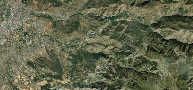
Granada, Andalusia · Spain
Carretera de la Cabra
A-4050Otivar to Almunecar
The Road of the Goat, a serpentine old mule route from the Granada hills to the Tropical Coast.
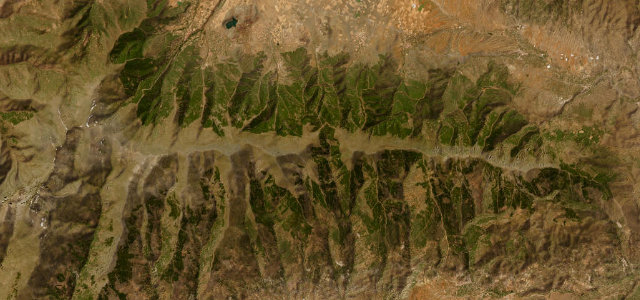
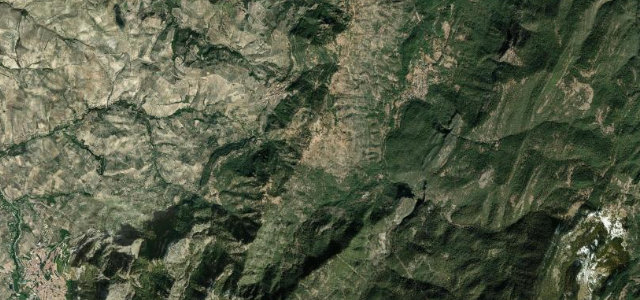
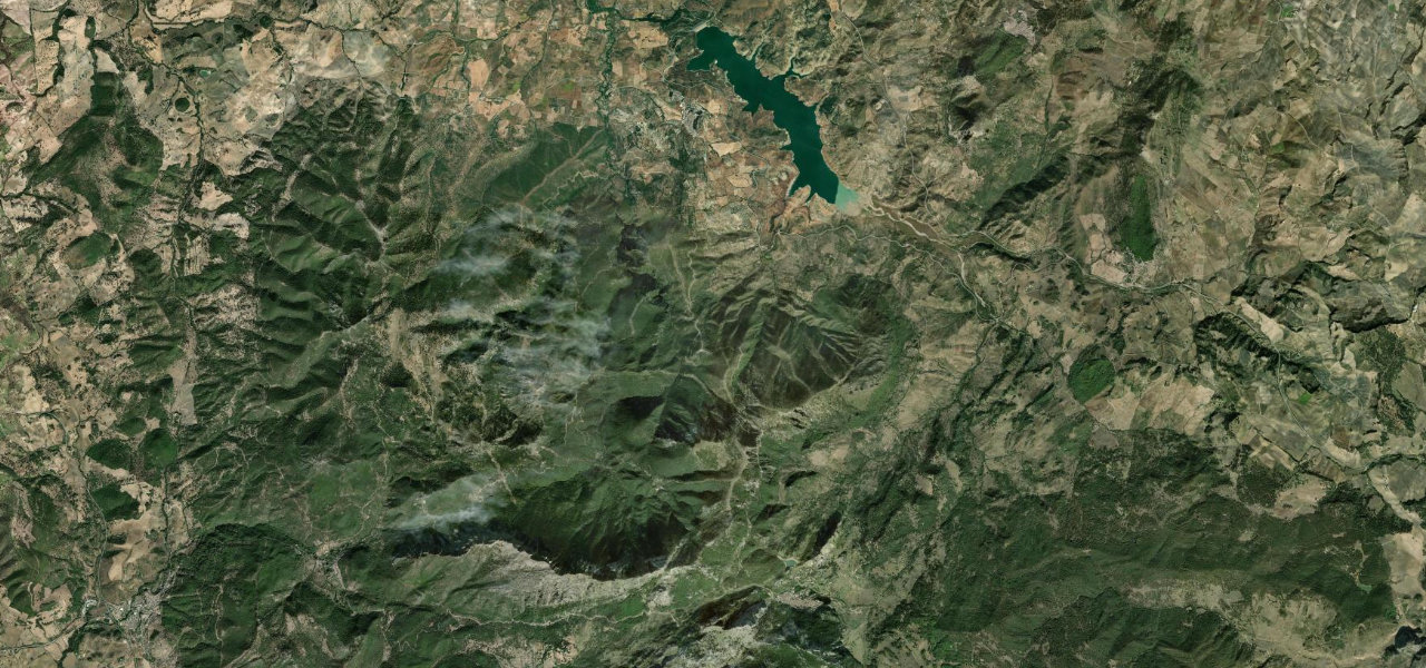
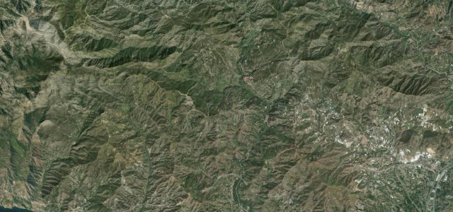
The A-4050, known as the Carretera de la Cabra or Road of the Goat, drops from the Sierra de Cazulas down to Otivar and the coast near Almunecar, tracing an old mule path used to carry fish inland. The middle section above Otivar is a relentless ribbon of bends with big drops and tropical-coast views, popular with bikers and used by Jaguar to launch the F-Type on a closed road. The surface varies and rockfall closures are not rare. Mind rockfall and landslip sections, tight blind bends with steep drops, and cyclists climbing from the coast.
Scenery
Best seasons
In these collections
In these guides
Where it runs13.7 mi · point to point
Navigate to the start: Apple Maps · Google Maps
Character
Corners
busiest around mile 6Elevation
under 4%4–8%over 8%52.5 – 1,074.1 mFrom the road
Points of interest3 stops
- Acueducto de TorrecuevasLandmark14 mi in
- Mirador de la Cabra MontésViewpoint0.5 mi in
- Mirador Vista VerdeViewpoint8.7 mi in
Hazards
- Rockfall and landslip sections
- Tight blind bends with steep drops
- Cyclists climbing from the coast
Sources
“The most dramatic section of the road is where you go through a small tunnel and then the road hugs the side of the valley, which drops off steeply to your right.”
Verified route: mapped from real road geometry and fact-checked by a human editor. How roads get checked
Driving the Carretera de la Cabra: quick answers
How long does it take to drive the Carretera de la Cabra?
How difficult is the Carretera de la Cabra to drive?
When is the best time to drive the Carretera de la Cabra?
Nearby roads
The closest great drives to Carretera de la Cabra.