Granada, Andalusia · Spain
Puerto de la Ragua
A-337La Calahorra to Laroles
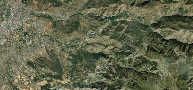
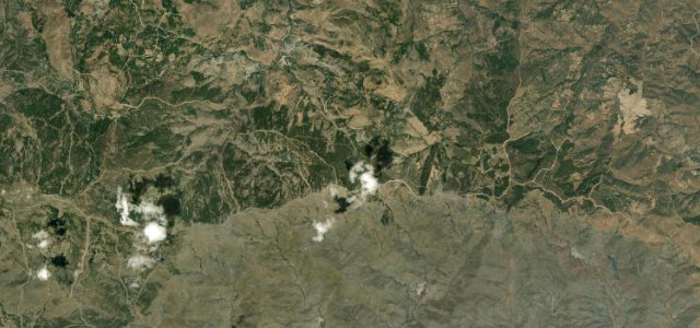
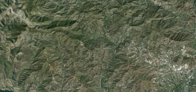
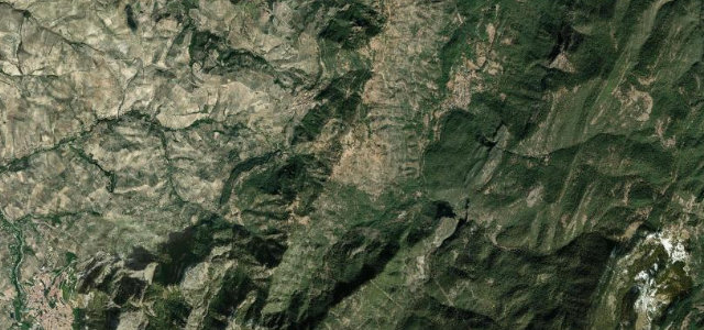
The only road crossing of the Sierra Nevada, topping out above 2,000 m.
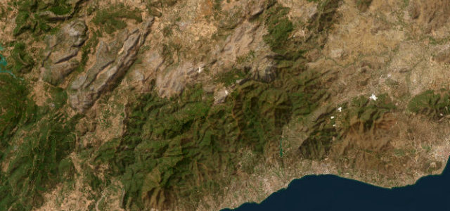
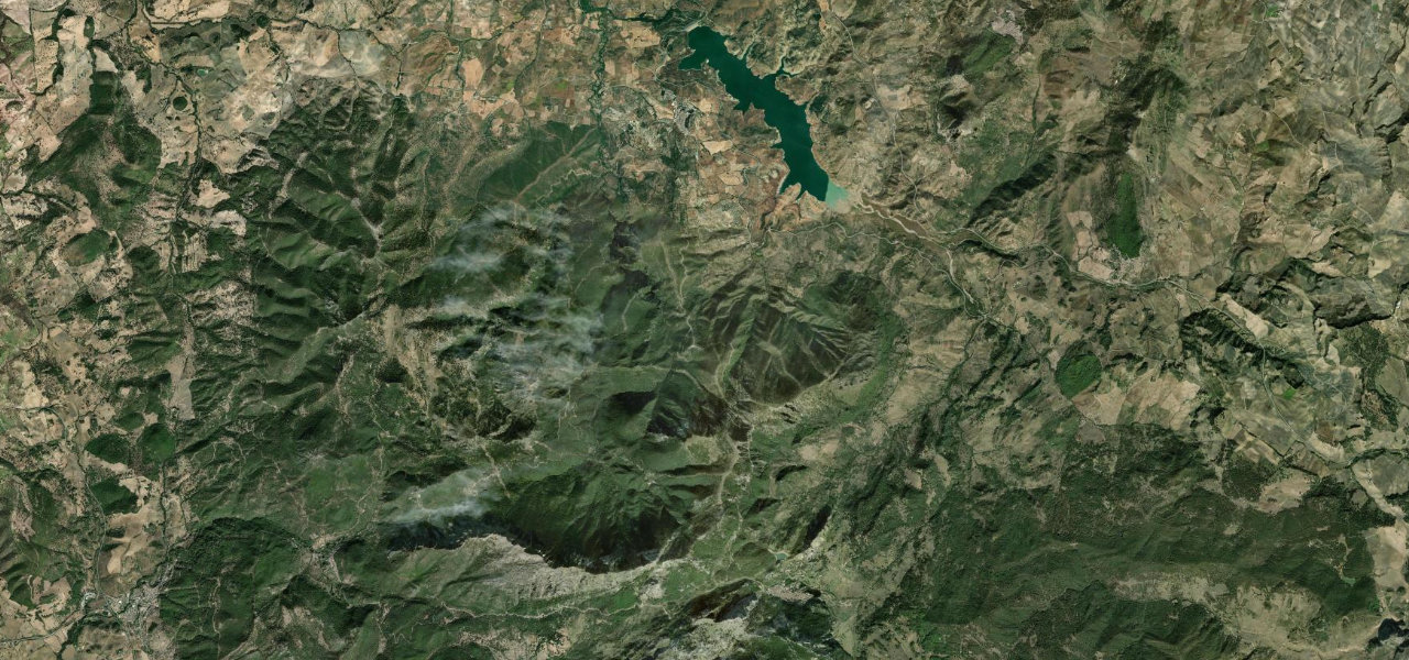
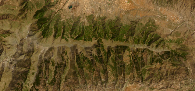
The A-337 is the sole vehicle crossing of the Sierra Nevada massif, linking La Calahorra in the Marquesado with Laroles in the Alpujarra over a 2,040 m pass. It is a long, sweeping mountain climb with open high-country views and a quieter feel than the coastal roads. The surface is rough in places and the road is often less than five metres wide. Mind steep unbarriered drop-offs, winter snow and ice closures, and a narrow carriageway with poor overtaking sight lines.
Scenery
Best seasons
In these collections
Where it runs18.0 mi · point to point
Navigate to the start: Apple Maps · Google Maps
Character
Corners
busiest around mile 18Elevation
under 4%4–8%over 8%1,055.7 – 2,044 mFrom the road
Points of interest3 stops
- Puerto de la RaguaViewpoint8.1 mi in
- Mirador de AldeireViewpoint3.5 mi in
- Mirador del MarquesadoViewpoint5.3 mi in
Hazards
- Unbarriered drop-offs
- Winter snow and ice closures
- Narrow carriageway, rough surface
See the typical season and live conditions for the high passes ›
Sources
“It's narrow, often less than five meters wide, with numerous turns and steep drop-offs, many without safety barriers.”
Verified route: mapped from real road geometry and fact-checked by a human editor. How roads get checked
Driving the Puerto de la Ragua: quick answers
How long does it take to drive the Puerto de la Ragua?
How difficult is the Puerto de la Ragua to drive?
When is the best time to drive the Puerto de la Ragua?
Nearby roads
The closest great drives to Puerto de la Ragua.