Andalusia · Spain
Puerto de las Palomas (Cazorla)
A-319La Iruela to Cazorla
Cazorla mountain pass with a famous Guadalquivir-valley mirador.
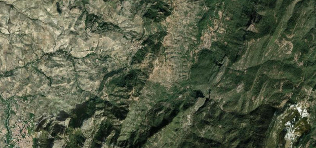
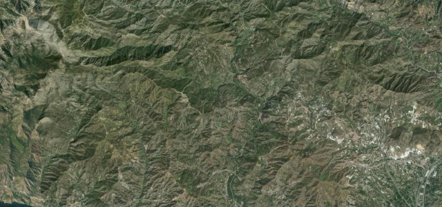
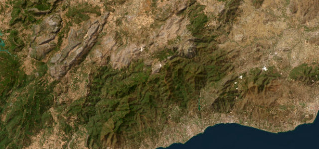
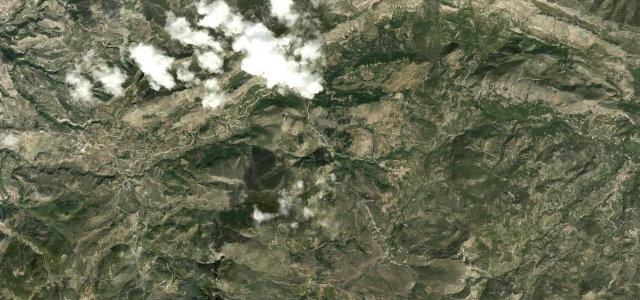
This 1,200 m pass on the A-319 sits in the Sierras de Cazorla, Segura y Las Villas natural park in Jaen, climbing from Burunchel and dropping towards the Guadalquivir valley near Vadillo-Castril. Its mirador is a noted spot for watching vultures ride the thermals over the sierra. Mind sharp blind hairpins, the steep drop into the park and slow tourist traffic in summer.
Where it runs7.4 mi · point to point
La IruelaStart · Andalusia
CazorlaEnd · Andalusia
Navigate to the start: Apple Maps · Google Maps
Character
Corners24bends
Tightness6of 10
Max gradient8%≈ 1-in-13
Hairpins3tight bends
Climb322 mtotal ascent
Summit1,248.7 mhighest point of the line · 4,097 ft
Corners
busiest around mile 2Elevation
under 4%4–8%over 8%906.5 – 1,248.7 mFrom the road
Points of interest3 stops
- Mirador Paso del AireViewpoint3.3 mi in
- Mirador del Puerto de las PalomasViewpoint3.7 mi in
- Lavadero Fuente del Cuerno, 1955Landmark0.3 mi in
Hazards
- Blind hairpins
- Steep drop into the park
- Summer tourist traffic
Sources
“Desde este punto, tiene la oportunidad de disfrutar de una amplia vista de este valle del río Guadalquivir y de las numerosas cumbres que lo jalonan.”
Verified route: mapped from real road geometry and fact-checked by a human editor. How roads get checked
Driving the Puerto de las Palomas (Cazorla): quick answers
How long does it take to drive the Puerto de las Palomas (Cazorla)?
Puerto de las Palomas (Cazorla) runs 7.4 miles (11.9 km) and takes about 16 min to drive without stops.
How difficult is the Puerto de las Palomas (Cazorla) to drive?
We rate it moderate: 24 corners including 3 hairpins, a maximum gradient of 8%, and a tightness of 6 out of 10.
When is the best time to drive the Puerto de las Palomas (Cazorla)?
Spring and Autumn and Summer are best.
Nearby roads
The closest great drives to Puerto de las Palomas (Cazorla).
Puerto de las Palomas (Cazorla)
DirectionsGet the app