Alicante · Spain
Sierra de Aitana Road
CV-70Alcoy to Confrides
Alcoy to the Guadalest valley over the passes of inland Costa Blanca.
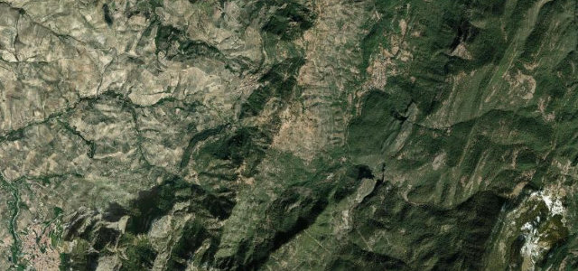
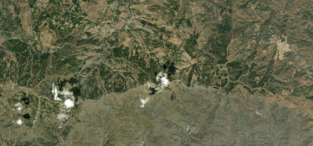
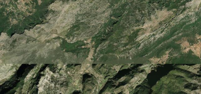
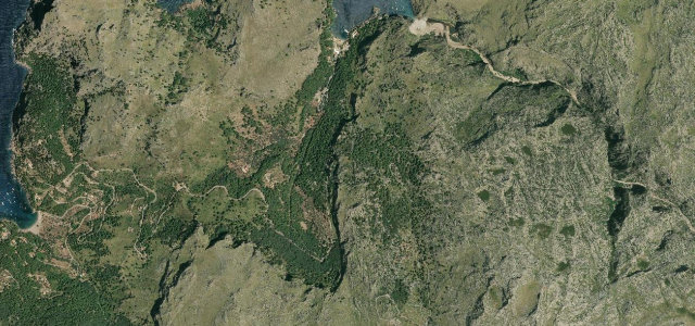
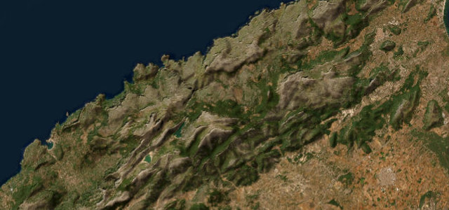
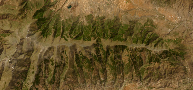
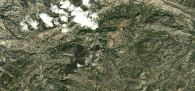
The CV-70, the old Alcoy to Benidorm road, is the inland Costa Blanca’s best driving road, threading the flank of the Sierra de Aitana, the highest range in Alicante province. From the Alcoy plain it climbs steadily through pine and terraced orchards over the Port de Tudons and the Port de Confrides, passing the village of Confrides perched beneath Aitana’s 1,558 m summit before dropping toward the Guadalest valley. The asphalt is mostly good two-lane with a long sequence of smooth, sweeping bends and a few tighter switchbacks near the cols, gentle in gradient but rarely straight. It is a popular cycling and motorcycling route, so traffic and surface vary. Mind cyclists on blind bends, sun glare on east and west sections at the day’s ends, and the occasional rockfall debris below the cuttings.
Scenery
Best seasons
In these collections
In these guides
Where it runs9.8 mi · point to point
Navigate to the start: Apple Maps · Google Maps
Character
Corners
busiest around mile 3Elevation
under 4%4–8%over 8%606.2 – 977.3 mFrom the road
Points of interest3 stops
- Port de ConfridesViewpoint3.7 mi in
- Penya del SíndicViewpoint2.3 mi in
- Alt RedóViewpoint7.3 mi in
Hazards
- Cyclists on blind bends
- Sun glare at the day's ends
- Occasional rockfall debris below cuttings
Sources
“Tomamos la carretera CV-70 que se deja ver muy divertida, y muy lejos de los tópicos de sol y playa”
Verified route: mapped from real road geometry and fact-checked by a human editor. How roads get checked
Driving the Sierra de Aitana Road: quick answers
How long does it take to drive the Sierra de Aitana Road?
How difficult is the Sierra de Aitana Road to drive?
When is the best time to drive the Sierra de Aitana Road?
Nearby roads
The closest great drives to Sierra de Aitana Road.