Mallorca · Spain
Serra de Tramuntana (Ma-10)
Ma-10Sóller to Pollença
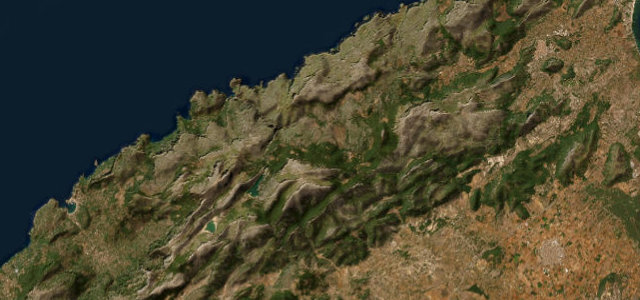
The mountain spine of Mallorca, running the length of the UNESCO-listed Serra de Tramuntana past reservoirs, viewpoints and the island’s highest peaks.
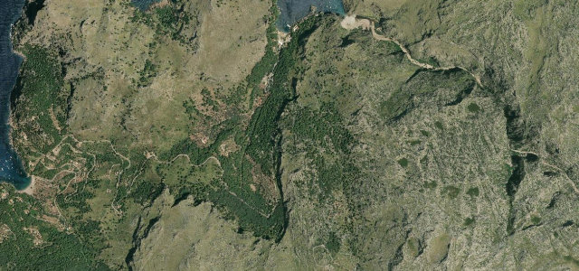
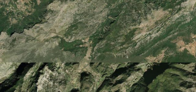
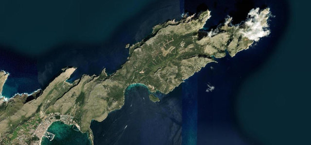
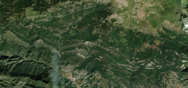
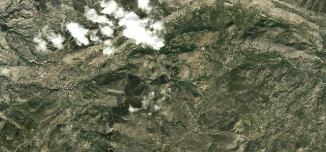
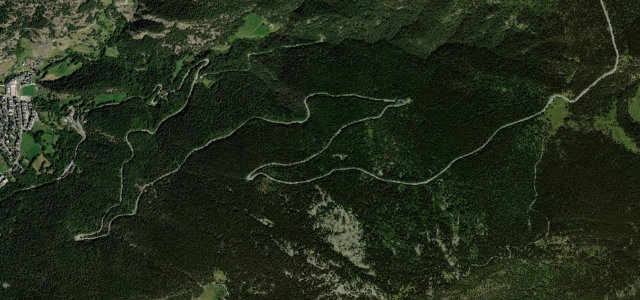
From the citrus terraces above Sóller the Ma-10 climbs into the heart of the Tramuntana, threading the Coll de Puig Major area, skirting the Cúber and Gorg Blau reservoirs, passing the monastery at Lluc and finally easing down toward Pollença. It is a long, flowing mountain road of sweeping bends and short tunnels rather than relentless hairpins, with the famous Sa Calobra spur dropping off it midway. Coastal haze, sheer drops and tour-bus traffic in season all feature, so this is less about outright difficulty and more about sustained alpine scenery on good tarmac. Mind tour buses and cyclists on blind bends, frequent tunnels with sudden light changes, and rockfall after heavy rain.
Scenery
Best seasons
In these collections
Where it runs34.6 mi · point to point
Navigate to the start: Apple Maps · Google Maps
Character
Corners
busiest around mile 8Elevation
under 4%4–8%over 8%9.9 – 882.3 mFrom the road
Points of interest3 stops
- Túnel de MonnàberViewpoint10 mi in
- Coll de FemeniaViewpoint24 mi in
- coll des XoriguerViewpoint11 mi in
Hazards
- Tour buses and cyclists on blind bends
- Frequent tunnels with sudden light changes
- Rockfall after heavy rain
- Sheer coastal drops
Sources
“a seemingly endless series of fabulous views of the Tramuntana mountains and the turquoise sea, interspersed with impossibly pretty villages of honey-colored stone”
Verified route: mapped from real road geometry and fact-checked by a human editor. How roads get checked
Driving the Serra de Tramuntana (Ma-10): quick answers
How long does it take to drive the Serra de Tramuntana (Ma-10)?
How difficult is the Serra de Tramuntana (Ma-10) to drive?
When is the best time to drive the Serra de Tramuntana (Ma-10)?
Nearby roads
The closest great drives to Serra de Tramuntana (Ma-10).