Asturias · Spain
Cabrales to Sotres Road
AS-264Arenas de Cabrales to Sotres
A narrow ramp to one of the highest villages in the Picos de Europa.
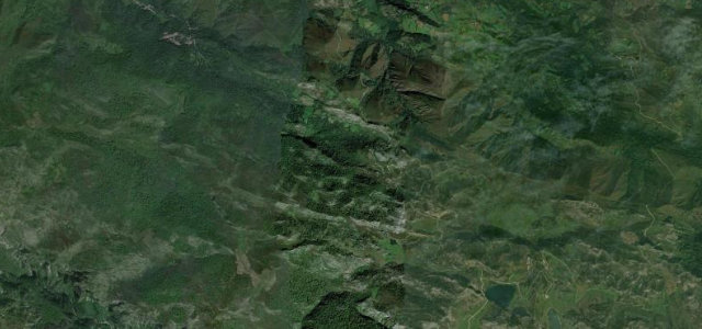
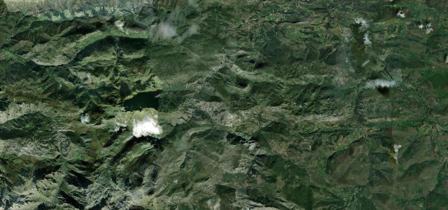
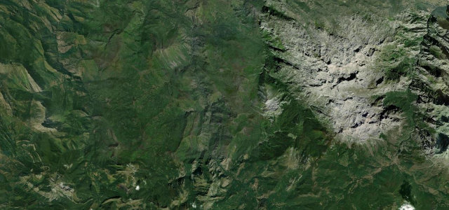
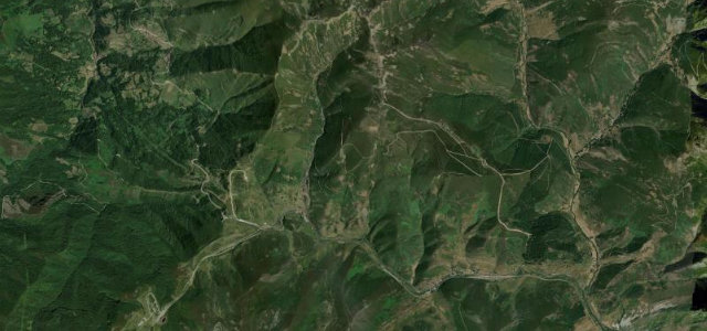
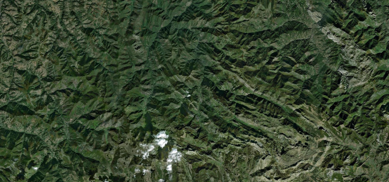
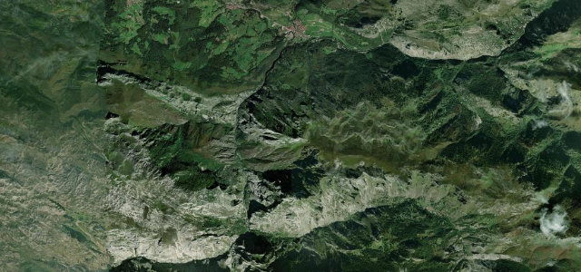
From Arenas de Cabrales the AS-264 follows the Cares and Duje valleys to Poncebos, then claws its way up a narrow shelf to Sotres, at around 1,050 m one of the highest inhabited villages in the Picos de Europa. The lower part runs beside the gorge that hides the famous Cares trail; above Poncebos the road tightens into a single-lane-feel climb cut into the mountainside, with sharp bends and steep ramps and big drops to the Duje below. Surfaced throughout but with little room to pass, it rewards patience over pace and gives constant views to the Naranjo de Bulnes and the surrounding limestone walls. Mind oncoming traffic on single-lane sections, frequent low cloud and damp tarmac, and livestock and walkers near Sotres.
Scenery
Best seasons
In these collections
In these Grand Tours
Where it runs5.4 mi · point to point
Navigate to the start: Apple Maps · Google Maps
Character
Corners
busiest around mile 4Elevation
under 4%4–8%over 8%139.1 – 490.5 mFrom the road
Points of interest2 stops
- Ruta del CaresLandmark3.7 mi in
- Jorcáu CotixorViewpoint4.6 mi in
Hazards
- Oncoming traffic on single-lane sections
- Low cloud and damp tarmac
- Livestock and walkers near Sotres
- Big drops to the Duje gorge
Sources
“It's one of the most scenic canyon roads of Spain.”
Verified route: mapped from real road geometry and fact-checked by a human editor. How roads get checked
Driving the Cabrales to Sotres Road: quick answers
How long does it take to drive the Cabrales to Sotres Road?
How difficult is the Cabrales to Sotres Road to drive?
When is the best time to drive the Cabrales to Sotres Road?
Nearby roads
The closest great drives to Cabrales to Sotres Road.