Asturias · Spain
Lagos de Covadonga
CO-4AS-262Covadonga to Lagos de Covadonga
A brutal, narrow climb into the Picos de Europa.
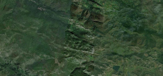
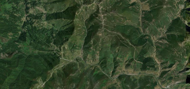
The road from Covadonga to the glacial Lakes of Enol and Ercina is one of Spain’s most feared Vuelta climbs, steep, narrow and relentless, twisting up into the heart of the Picos de Europa. Stunning but demanding; mind the cattle on the open mountain, the cyclists, and the mist that rolls in fast.
Scenery
MountainLakes
Best seasons
SummerAutumn
In these collections
In these Grand Tours
Where it runs7.2 mi · point to point
CovadongaStart · Asturias
Lagos de CovadongaEnd · Asturias
Navigate to the start: Apple Maps · Google Maps
Character
Corners40bends
Tightness8of 10
Max gradient12%≈ 1-in-8
Hairpins3tight bends
Climb941 mtotal ascent
Summit1,122.6 mhighest point of the line · 3,683 ft
Corners
busiest around mile 4Elevation
under 4%4–8%over 8%238.4 – 1,122.6 mPoints of interest3 stops
- Cueva de CuadongaViewpointat the start
- Mirador de los CanónigosViewpoint1.3 mi in
- Mirador de la ReinaViewpoint4.6 mi in
Hazards
- Very steep and narrow
- Cattle on the open mountain
- Fast-rolling mist
- Cyclists on the climb
Sources
“It's said to be one of the most beautiful drives in the country.”
Verified route: mapped from real road geometry and fact-checked by a human editor. How roads get checked
Driving the Lagos de Covadonga: quick answers
How long does it take to drive the Lagos de Covadonga?
Lagos de Covadonga runs 7.2 miles (11.6 km) and takes about 17 min to drive without stops.
How difficult is the Lagos de Covadonga to drive?
We rate it expert: 40 corners including 3 hairpins, a maximum gradient of 12%, and a tightness of 8 out of 10.
When is the best time to drive the Lagos de Covadonga?
Summer and Autumn are best.
Nearby roads
The closest great drives to Lagos de Covadonga.

Lagos de Covadonga
DirectionsGet the app