
Castile and León · Spain
Puerto de San Glorio
N-621Boca de Huérgano to Potes
Long hairpin climb over the Picos de Europa.
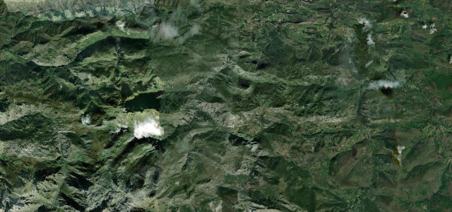
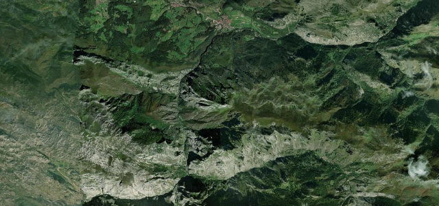
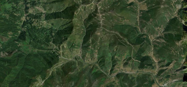
The N-621 crosses the 1609-metre Puerto de San Glorio between Portilla de la Reina in Leon and Potes in Cantabria. The fully paved road climbs steadily through a series of hairpins on the southern edge of the Picos de Europa, with a viewpoint and a brown-bear monument near the summit. Mind the length of the ascent and occasional cattle on the open upper slopes.
Scenery
MountainValley
Best seasons
SummerAutumn
In these collections
In these Grand Tours
Where it runs22.2 mi · point to point
Boca de HuérganoStart · Castile and León
PotesEnd · Castile and León
Navigate to the start: Apple Maps · Google Maps
Character
Corners40bends
Tightness6of 10
Max gradient10%≈ 1-in-10
Hairpins5tight bends
Descent1,425 mtotal descent
Summit1,608.7 mhighest point of the line · 5,278 ft
Corners
busiest around mile 5Elevation
under 4%4–8%over 8%301.7 – 1,608.7 mFrom the road
Points of interest3 stops
- Mirador Sierra de OrpiñasViewpoint2.0 mi in
- Mirador del CorzoViewpoint7.9 mi in
- Puerto de San GlorioViewpoint5.9 mi in
Hazards
- Winter snow and ice
- Free-roaming cattle
- Long descents
Sources
“The road is steep and hits a maximum gradient of 11.0% through some of the ramps.”
Verified route: mapped from real road geometry and fact-checked by a human editor. How roads get checked
Driving the Puerto de San Glorio: quick answers
How long does it take to drive the Puerto de San Glorio?
Puerto de San Glorio runs 22.2 miles (36 km) and takes about 47 min to drive without stops.
How difficult is the Puerto de San Glorio to drive?
We rate it moderate: 40 corners including 5 hairpins, a maximum gradient of 10%, and a tightness of 6 out of 10.
When is the best time to drive the Puerto de San Glorio?
Summer and Autumn are best.
Nearby roads
The closest great drives to Puerto de San Glorio.
Puerto de San Glorio
DirectionsGet the app