Somiedo, Asturias · Spain
Puerto de Somiedo
AS-227Aguasmestas to Puerto de Somiedo
A brown-bear-country climb through the Cantabrian range to a 1,486 m pass.
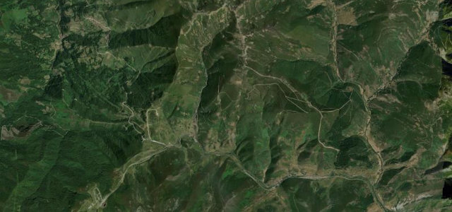
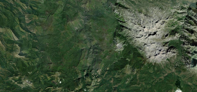
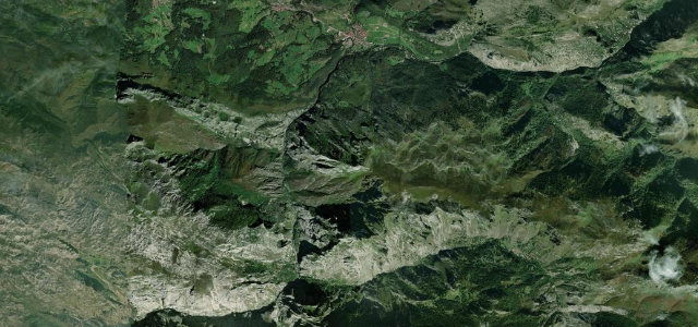
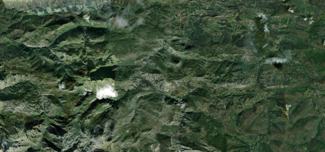
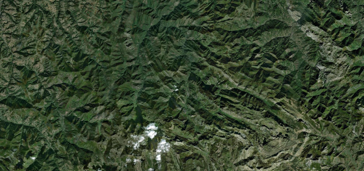
West of the Picos, where the tourists thin out, the AS-227 makes one of the great quiet climbs of the Cordillera Cantábrica: 24 km up the Somiedo valley from Aguasmestas through the stone hamlets of La Riera and Pola de Somiedo to the 1,486 m Puerto de Somiedo on the León border. It runs through the heart of the Somiedo natural park, genuine brown-bear country, past high summer pastures dotted with the teito shepherds' huts. The road is narrow and sinuous with free-roaming cattle on the open braña, and it can ice over near the top in winter. As an introduction to the empty, bear-haunted mountains west of the Picos, nothing beats it.
Where it runs14.5 mi · point to point
Navigate to the start: Apple Maps · Google Maps
Character
Elevation
under 4%4–8%over 8%402 – 1,477 mThe strip below the profile is corner density: taller, warmer ticks mean tighter bends.
Points of interest2 stops
- Pola de SomiedoLandmark7.6 mi in
- Puerto de SomiedoViewpoint15 mi in
Hazards
- Occasional winter closures from snow and ice near the summit
- Free-roaming livestock on the open braña pastures
- Narrow, sinuous single-carriageway mountain sections
See the typical season and live conditions for the high passes ›
Verified route: mapped from real road geometry and fact-checked by a human editor. How roads get checked
Driving the Puerto de Somiedo: quick answers
How long does it take to drive the Puerto de Somiedo?
How difficult is the Puerto de Somiedo to drive?
When is the best time to drive the Puerto de Somiedo?
Nearby roads
The closest great drives to Puerto de Somiedo.