Asturias · Spain
Puerto de Pajares
N-630Lena to Villamanín
Historic Cantabrian pass linking Asturias with Leon at 1,378 m.
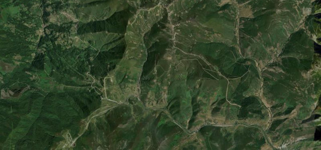
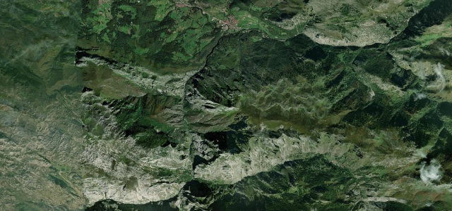
Puerto de Pajares carries the N-630 over the Cantabrian Mountains at about 1,379 m between Pajares in Asturias and Villamanin in Leon. For decades the main route in and out of Asturias before the AP-66 motorway, it is a flowing series of hairpins past the Valgrande-Pajares ski area. Mind heavy winter snowfall, summer night fog and slow trucks still using the old road.
Scenery
MountainValleyMoorland
Best seasons
SpringSummerAutumn
In these collections
Where it runs6.5 mi · point to point
LenaStart · Asturias
VillamanínEnd · Asturias
Navigate to the start: Apple Maps · Google Maps
Character
Corners45bends
Tightness6of 10
Max gradient9%≈ 1-in-11
Climb388 mtotal ascent
Summit1,381.8 mhighest point of the line · 4,533 ft
Corners
busiest around mile 2Elevation
under 4%4–8%over 8%993.5 – 1,381.8 mFrom the road
Points of interest3 stops
- Puerto de PajaresViewpoint2.8 mi in
- Canto CesquínViewpoint6.2 mi in
- Pico UretaViewpoint5.5 mi in
Hazards
- Winter snow and ice
- Summer night fog
- Trucks on the old road
Sources
“The slopes that reach up to 17% officially, and the nearby ski resort, Valgrande-Pajares. It's said to be the steepest national road in the country.”
Verified route: mapped from real road geometry and fact-checked by a human editor. How roads get checked
Driving the Puerto de Pajares: quick answers
How long does it take to drive the Puerto de Pajares?
Puerto de Pajares runs 6.5 miles (10.5 km) and takes about 14 min to drive without stops.
How difficult is the Puerto de Pajares to drive?
We rate it moderate: 45 corners, a maximum gradient of 9%, and a tightness of 6 out of 10.
When is the best time to drive the Puerto de Pajares?
Spring and Summer and Autumn are best.
Nearby roads
The closest great drives to Puerto de Pajares.

Puerto de Pajares
DirectionsGet the app