Cantabria · Spain
Desfiladero de La Hermida
N-621Panes to Lebeña
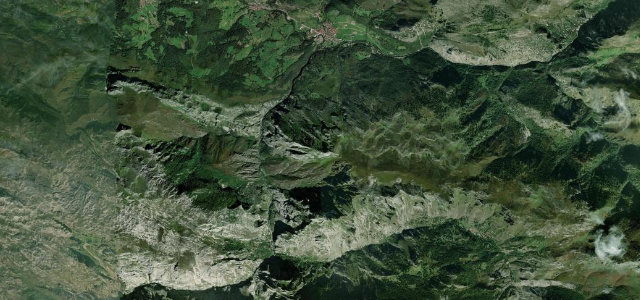
Spain’s longest gorge, where the N-621 threads a deep limestone canyon beside the Deva river into the eastern Picos de Europa.
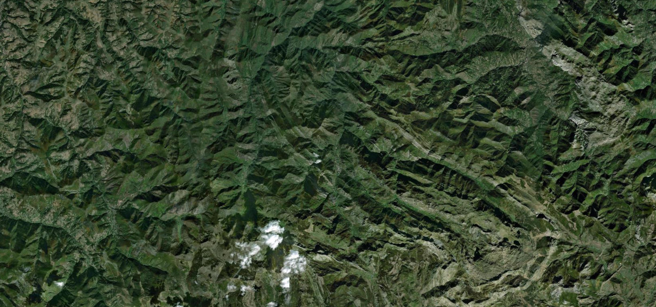
From Panes the N-621 plunges into the Desfiladero de La Hermida, a boxed canyon some twenty kilometres long carved by the Deva through the eastern Picos de Europa. Sheer limestone walls rise hundreds of metres on either side, often shutting out the sun, while the road clings to the river through the hamlets of La Hermida and Lebeña on its way toward Potes. It is not a hairpin road but a fast-feeling, sinuous gorge run on a national road that has seen recent widening works, so expect a mix of smooth new sections and older narrow stretches. Mind oncoming traffic on narrow pinch points, ongoing roadworks and temporary lights, and rockfall and shadow ice in the deep gorge.
Scenery
Best seasons
In these collections
In these Grand Tours
Where it runs11.7 mi · point to point
Navigate to the start: Apple Maps · Google Maps
Character
Corners
busiest around mile 9Elevation
under 4%4–8%over 8%30.3 – 252.3 mFrom the road
Points of interest2 stops
- Mirador del SalmónViewpoint6.6 mi in
- Vía ferrata Escalera al Cielo K3Landmark7.2 mi in
Hazards
- Oncoming traffic on narrow pinch points
- Ongoing roadworks and temporary lights
- Rockfall and shadow ice in the deep gorge
Sources
“one of the most scenic canyon roads of Spain”
Verified route: mapped from real road geometry and fact-checked by a human editor. How roads get checked
Driving the Desfiladero de La Hermida: quick answers
How long does it take to drive the Desfiladero de La Hermida?
How difficult is the Desfiladero de La Hermida to drive?
When is the best time to drive the Desfiladero de La Hermida?
Nearby roads
The closest great drives to Desfiladero de La Hermida.