Madeira · Portugal
Encumeada to Paul da Serra
ER105Boca da Encumeada to Bica da Cana
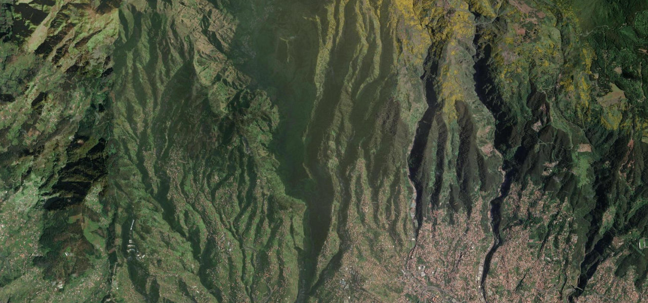
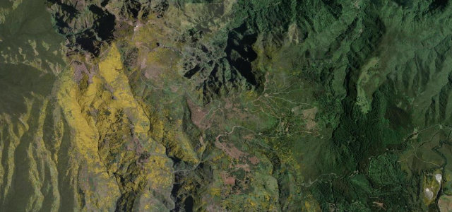
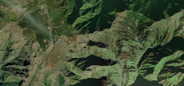
The high mountain road climbing from the Encumeada pass onto Madeira’s Paul da Serra plateau, with the Lombo do Mouro hairpin and Bica da Cana viewpoint.
Starting at the Boca da Encumeada pass between Madeira’s north and south slopes, this road climbs steeply onto the Paul da Serra, the island’s high, windswept plateau. The standout is the Lombo do Mouro double hairpin, where you can pull over and look back down the green valleys, before the road levels out toward the Bica da Cana viewpoint with its view to Pico Ruivo and Pico do Arieiro on a clear day. Cloud often pours over the ridge, dropping visibility within minutes, and the plateau can be wet and exposed while the coast below is sunny. Mind fast-moving cloud cutting visibility on the climb, exposed wet and windy plateau sections, and stray cattle on the open upland.
Scenery
Best seasons
In these collections
Where it runs5.2 mi · point to point
Navigate to the start: Apple Maps · Google Maps
Character
Corners
busiest around mile 3Elevation
under 4%4–8%over 8%988.7 – 1,573.3 mPoints of interest3 stops
- Boca da EncumeadaViewpointat the start
- Canto do MuroViewpoint2.9 mi in
- Miradouro MolinasViewpoint3.7 mi in
Hazards
- Fast-moving cloud cutting visibility on the climb
- Exposed wet and windy plateau sections
- Stray cattle on the open upland
Sources
“The drive here feels completely different from the rest of the island: wide open moorland with wind turbines, low cloud and a surreal panorama you really don't expect to find on Madeira.”
Verified route: mapped from real road geometry and fact-checked by a human editor. How roads get checked
Driving the Encumeada to Paul da Serra: quick answers
How long does it take to drive the Encumeada to Paul da Serra?
How difficult is the Encumeada to Paul da Serra to drive?
When is the best time to drive the Encumeada to Paul da Serra?
Nearby roads
The closest great drives to Encumeada to Paul da Serra.