Teno, Tenerife · Spain
Masca Road
TF-436Santiago del Teide to Buenavista del Norte
Tenerife’s knife-edge climb through the Teno massif to a lost cliff village.
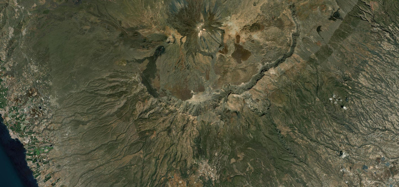
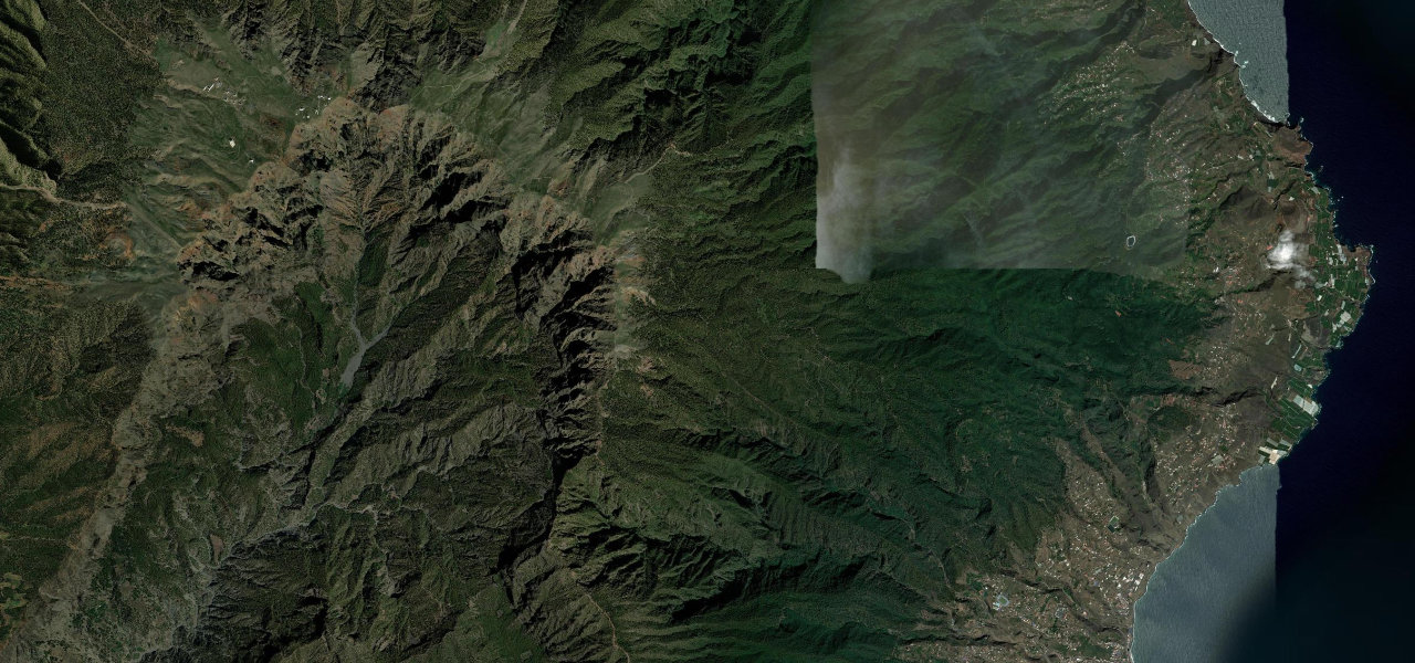
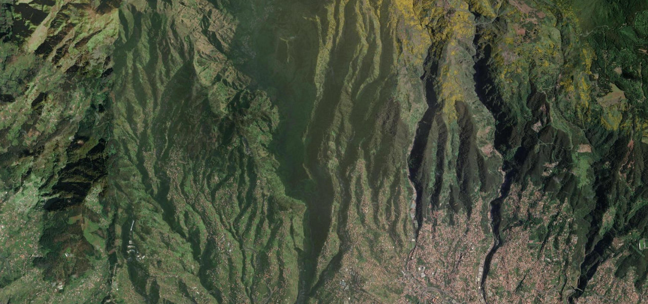
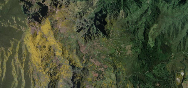
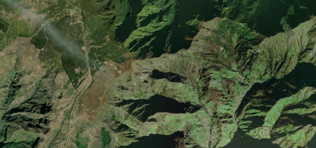
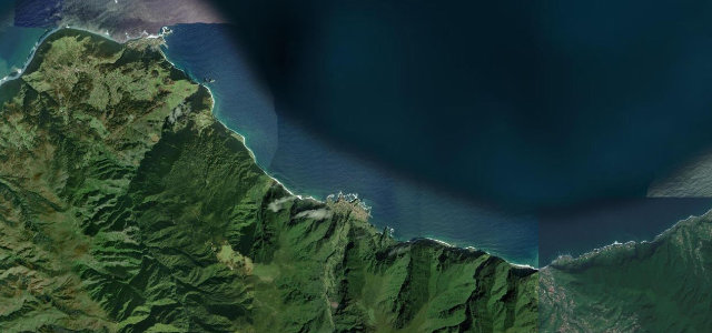
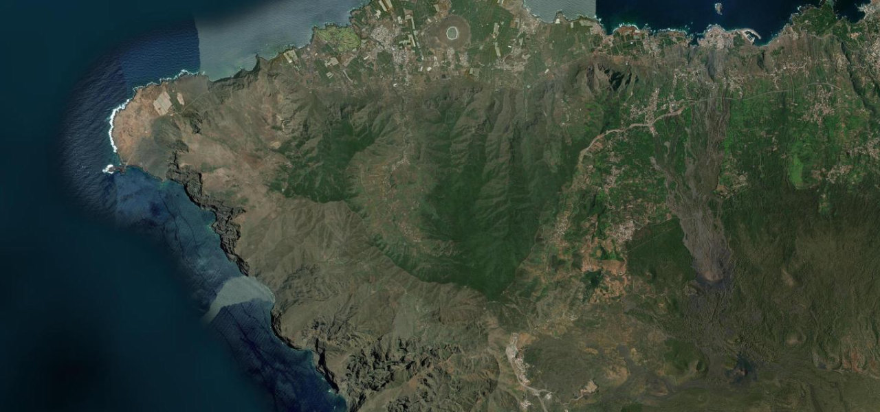
The TF-436 is one of Europe’s great short mountain roads and one of its most demanding: 22 km over the volcanic Teno massif, crossing two summits with a deep plunge between them, past the cliff-hung village of Masca that sat cut off from the world until the tarmac arrived. It is savagely narrow in places, three to six metres with genuine single-lane stretches, no shoulder, blind hairpins and unguarded drops toward the barranco. Meeting an oncoming car often means reversing to a bay. Drive it early or late to dodge the peak-season congestion, and note that tour buses over ten metres have been banned since 2025. Slow, spectacular and not for the nervous.
Scenery
Best seasons
In these collections
Where it runs12.3 mi · point to point
Navigate to the start: Apple Maps · Google Maps
Character
Steeper than 9 in 10 roads here in the catalogue.
Elevation
under 4%4–8%over 8%132 – 1,055 mThe strip below the profile is corner density: taller, warmer ticks mean tighter bends.
Points of interest3 stops
- Mirador de CherfeViewpoint2.9 mi in
- Masca villageLandmark3.4 mi in
- Mirador Altos de BaracánViewpoint7.7 mi in
Hazards
- Extremely narrow carriageway with single-lane stretches and blind hairpins, reversing to passing bays is routine
- Gradients to about 18 per cent with big unguarded drops toward the gorge
- Chronic congestion late morning to late afternoon in season
- Passenger-transport vehicles over 10 m banned from the whole road
- Rockfall-prone slopes with occasional short daytime closures
See the typical season and live conditions for the high passes ›
Verified route: mapped from real road geometry and fact-checked by a human editor. How roads get checked
Driving the Masca Road: quick answers
How long does it take to drive the Masca Road?
How difficult is the Masca Road to drive?
When is the best time to drive the Masca Road?
Nearby roads
The closest great drives to Masca Road.