High Atlas · Morocco
Tizi n'Test
RN7Asni to Taroudant
One of the most spectacular and intimidating mountain roads in North Africa, scaling the western High Atlas to a 2,093 m summit via sheer unbarriered drops, past the 12th-century Tin Mal Mosque.
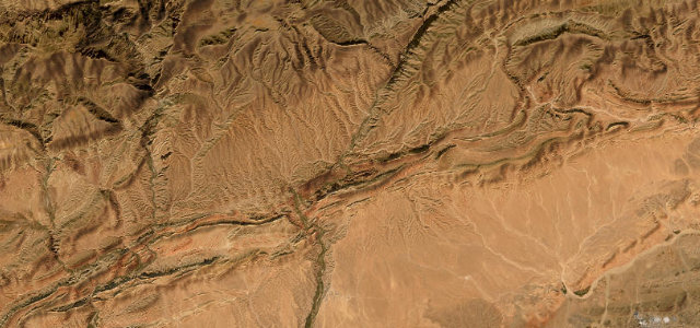
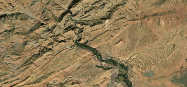
From Asni the road climbs the olive-terraced Nfiss valley past the dramatic Tin Mal Mosque. The next stretch earns its reputation: a sinuous single-track carved into cliffs with no barriers above a 400–500 m void, demanding low speed and pulling in to pass. The summit at 2,093 m overlooks both the Anti-Atlas and the Souss Valley before a 1,600 m descent into the citrus groves around Taroudant.
Where it runs
Navigate to the start: Apple Maps · Google Maps
Character
Elevation
under 4%4–8%over 8%238 – 2,142 mHazards
- unbarriered drops up to 500 metres
- single-vehicle-width sections
- gravel and sand on the surface
- landslides and avalanches
- snow closure in winter
- daylight driving essential
See the typical season and live conditions for the high passes ›
Sources: Road geometry © OpenStreetMap contributors
Nearby roads
The closest great drives to Tizi n'Test.