Drâa-Tafilalet · Morocco
Dades Gorge
R704Boumalne Dades to Ait Sedrate Jbel El Soufla
You’ve seen the photograph: the tight stack of switchbacks climbing out of the Dades canyon, one of Morocco’s most photographed stretches of road. The run up from Boumalne Dades threads the limestone cliffs to reach it, and the tarmac gives out not far beyond the fun.
The R704 runs up the Dades Gorge from Boumalne Dades, threading limestone cliffs before a famous tight switchback ramp that is one of Morocco’s most photographed stretches of road. The lower gorge and the iconic hairpins are paved, though the surface narrows and the route turns to rough track further north toward Agoudal. Mind the slippery surface after rain, tight bends and tourist coaches.
The serpentine climb out of the Dades valley, a stack of tight hairpins folded into red-rock cliffs. One of Morocco’s most photographed roads.
Why we picked it
Scenery
Best seasons
In these collections
In these Grand Tours
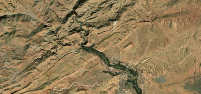
Where it runs19.2 mi · point to point
Navigate to the start: Apple Maps · Google Maps
Character
Corners
busiest around mile 18Elevation
approximateunder 4%4–8%over 8%1,521 – 1,815.7 mPoints of interest3 stops
- Doigts des SingesViewpoint11 mi in
- Serpent du DadèsViewpoint18 mi in
- Gorges du DadesViewpoint19 mi in
Hazards
- Slippery after rain
- Tight switchbacks
- Tourist coaches
Sources
“one of the most scenic drives in the world”
Verified route: mapped from real road geometry and fact-checked by a human editor. How roads get checked
Driving the Dades Gorge: quick answers
How long does it take to drive the Dades Gorge?
How difficult is the Dades Gorge to drive?
When is the best time to drive the Dades Gorge?
Nearby roads
The closest great drives to Dades Gorge.