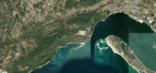
Algarve · Portugal
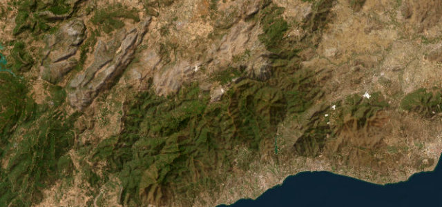
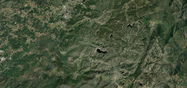
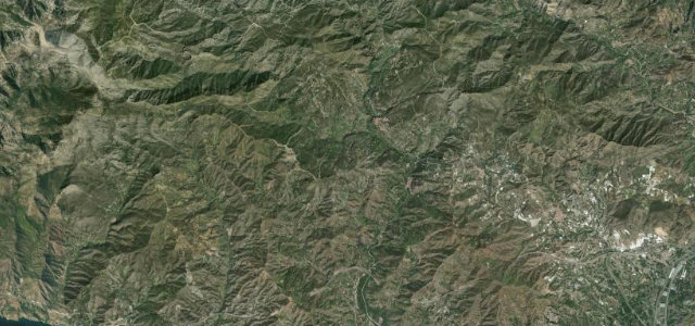
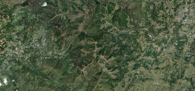
Serra de Monchique
N266Portimão to Fóia
Distance14.4 mi23 km
Drive time30 minon the road
DifficultyModeratetightness 6 of 10
The N266 climbs from the Algarve coast at Portimão into the Serra de Monchique, cresting at Fóia — at 902 m the highest peak in the Algarve — through cork oaks and rhododendrons.
Leave Portimão north on the N266, passing the thermal spa village of Caldas de Monchique in its lush gorge, then the whitewashed hill-town of Monchique, before the final corkscrew ascent to the Fóia summit plateau. On clear days the summit gives a 360-degree panorama from Cabo de São Vicente to Faro.
Scenery
MountainForestCoast
Where it runs
PortimãoStart · Algarve
FóiaEnd · Algarve
Navigate to the start: Apple Maps · Google Maps
Character
Corners55bends
Tightness6of 10
Max gradient13%≈ 1-in-8
Hairpins3tight bends
Climb904 mtotal ascent
Summit891 mhighest point of the line · 2,923 ft
Elevation
under 4%4–8%over 8%6 – 891 mHazards
- sharp hairpin bends
- gradients up to 10%
- loose gravel on descents
- narrow lanes
Sources: Road geometry © OpenStreetMap contributors
Nearby roads
The closest great drives to Serra de Monchique.
Serra de Monchique
Directions