Setúbal · Portugal
Serra da Arrábida
N-379-1Setúbal to Sesimbra
The Estrada de Escarpa does exactly what the name promises: 14 km riding the Arrabida ridge high above Setubal and Sesimbra, the Atlantic nearly 390 m below. No guardrails, narrow in places, and we wouldn’t change a thing.
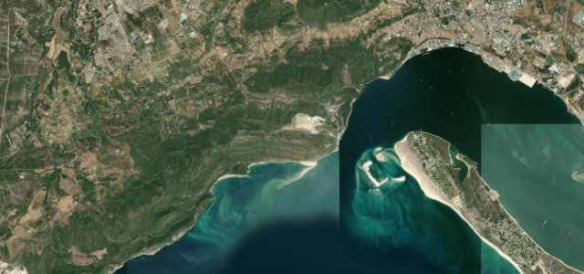
The N-379-1, known as the Estrada de Escarpa, follows the Serra da Arrabida ridge for about 14 kilometres between Setubal and Sesimbra south of Lisbon. The road climbs to nearly 390 metres inside the Parque Natural da Arrabida, with Atlantic views to the south and a steep spur dropping to the cove of Portinho da Arrabida. Mind the lack of guardrails, narrow sections and sharp drops to the sea.
Where it runs12.1 mi · point to point
Navigate to the start: Apple Maps · Google Maps
Character
Corners
busiest around mile 2Elevation
under 4%4–8%over 8%43.5 – 392 mFrom the road
Points of interest3 stops
- Miradouro do Portinho da ArrábidaViewpoint5.2 mi in
- Alto do PicotoViewpoint4.0 mi in
- Bico dos AgulhõesViewpoint7.5 mi in
Hazards
- No guardrails
- Narrow sections
- Steep sea drops
Sources
“N379-1 Road is perhaps the most scenic drive in Portugal. Located south of the capital, this road offers a mix of smooth and challenging curves, with breathtaking landscapes.”
Verified route: mapped from real road geometry and fact-checked by a human editor. How roads get checked
Driving the Serra da Arrábida: quick answers
How long does it take to drive the Serra da Arrábida?
How difficult is the Serra da Arrábida to drive?
When is the best time to drive the Serra da Arrábida?
Nearby roads
The closest great drives to Serra da Arrábida.