Lisbon · Portugal
Cascais to Cabo da Roca
N247Cascais to Cabo da Roca
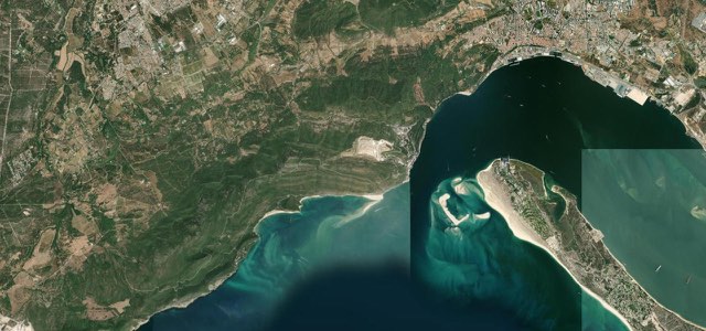
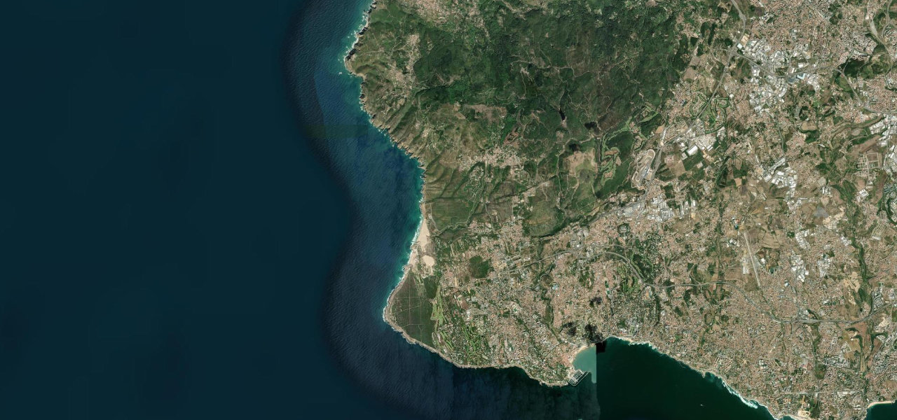
The N247 leaves Cascais along the coast to Cabo Raso, runs north past Guincho beach with the Atlantic on the left, then climbs through woods into the Sintra hills and out to Cabo da Roca, mainland Europe’s westernmost point.
From the western edge of Cascais the N247 runs close to the sea past the Guia lighthouse and the Oitavos fort to the lighthouse at Cabo Raso, where it turns north onto the Estrada do Guincho. This coastal stretch has a good surface and fast sweeping corners, with the ocean on the left and Guincho beach and its dunes beside the road. After the beach the road climbs through woods to Malveira da Serra, where the corners get tighter, then twists on through the Serra de Sintra hills. At Azóia the N247-4 branches off and runs about 2.5 km out to Cabo da Roca, the most westerly point of mainland Europe, with a lighthouse, a café and cliff-top paths. Sunny weekends are busy and local motorcyclists come out in numbers on Sunday mornings, so a weekday morning is the time to drive it.
Scenery
Best seasons
In these collections
Cascais to Cabo da Roca on the map12.0 mi · point to point
Navigate to the start: Apple Maps · Google Maps
Character
Corners
busiest around mile 10Elevation
under 4%4 to 8%over 8%8 to 266 mPoints of interest5 stops
- Farol da GuiaLighthouse on the rocky shore just off the road west of Cascais.0.9 mi in
- Farol do Cabo RasoLighthouse at Cabo Raso, where the road turns north up the Guincho coast.3.3 mi in
- Praia do GuinchoLong Atlantic beach backed by dunes, whose sand blows onto the road on windy days.4.9 mi in
- Farol do Cabo da RocaLighthouse on the cape at the end of the road.12 mi in
- Cabo da RocaThe most westerly point of mainland Europe, with cliff-top views over the Atlantic.12 mi in
Hazards
- Sand blown across the road at Guincho, sometimes closing it
- Heavy weekend traffic and Sunday-morning motorcyclists
- Cyclists and people stopping for photos
- Occasional closures for races and events in summer
- Fog and strong wind at Cabo da Roca
See the typical season and live conditions for the high passes ›
Sources
“The N247 is a very scenic road as it twists and winds through the Serra da Sintra hills, and on a sunny day is one of my favourite driving routes in the greater Lisbon region.”
“Great road with Ocean on your left heading towards Guincho beach. Surface is good, with fast sweeping corners.”
Route traced from OpenStreetMap, with its stats measured from that line. How the roads are mapped
Driving the Cascais to Cabo da Roca: quick answers
How long does it take to drive the Cascais to Cabo da Roca?
How difficult is the Cascais to Cabo da Roca to drive?
When is the best time to drive the Cascais to Cabo da Roca?
Nearby roads
The closest great drives to Cascais to Cabo da Roca.