La Palma, Canary Islands · Spain
Roque de los Muchachos
LP-4Santa Cruz de La Palma to Roque de los Muchachos
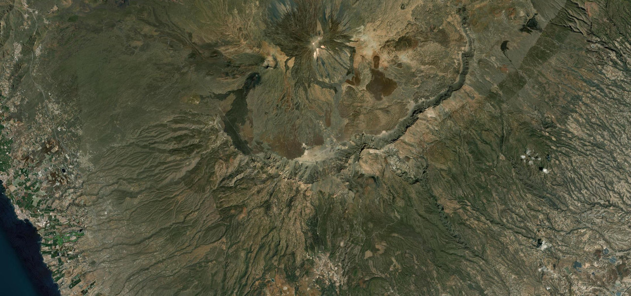
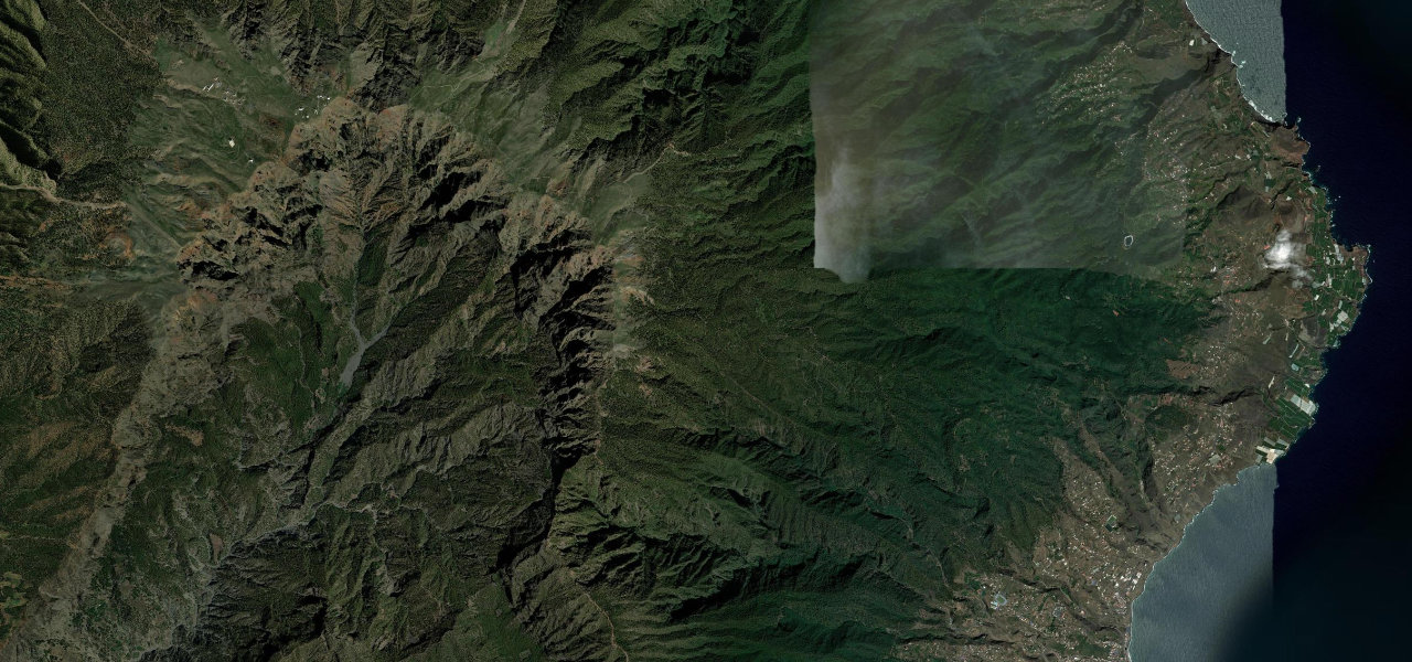
A relentless ascent from sea level to 2,426 m through pine forest and bare rock to one of the world’s premier observatories, climbing so steeply that drivers emerge above the clouds with views across four other Canary Islands.
The LP-4 branches from LP-1 on La Palma’s east coast and climbs over 36 sinuous kilometres at an average 7% with ramps to 12%, houses giving way to laurel then soaring Canarian pine, the trees thinning until bare volcanic rock and the observatory domes appear. Above the cloud inversion the views reach Tenerife, La Gomera and El Hierro; the road ends at the summit car park by the Isaac Newton Telescope.
Scenery
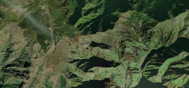
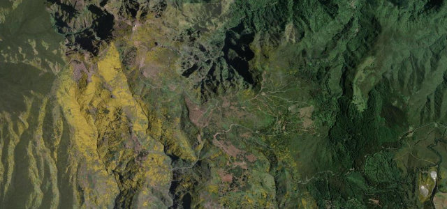
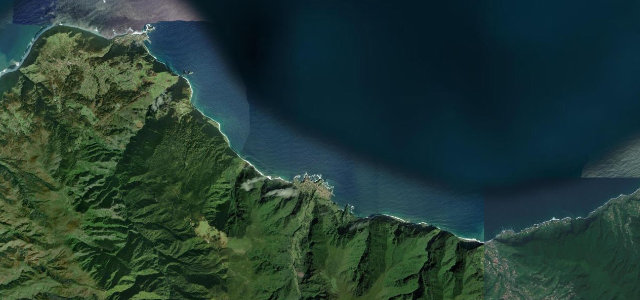
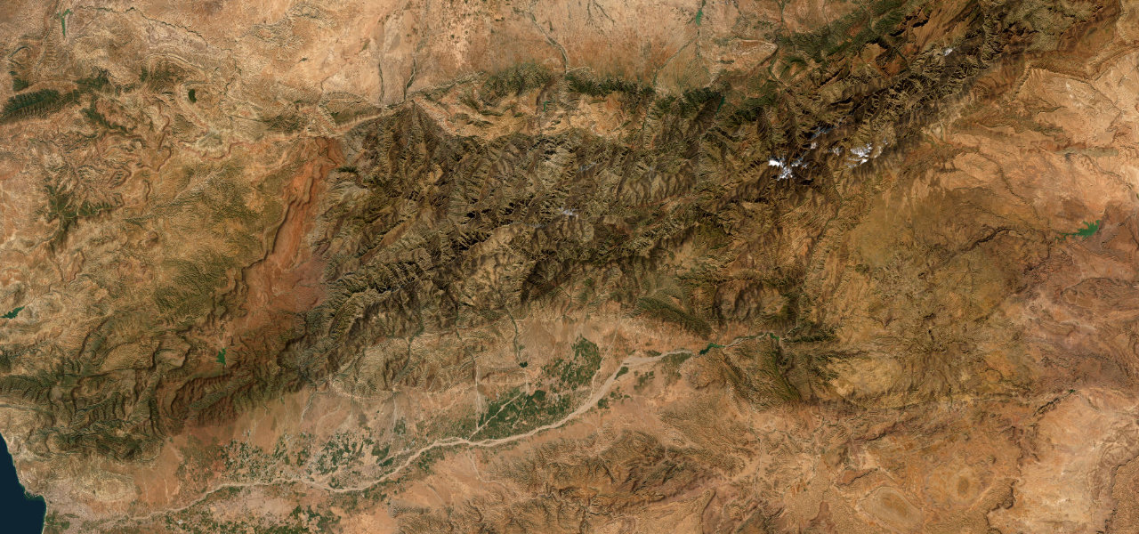
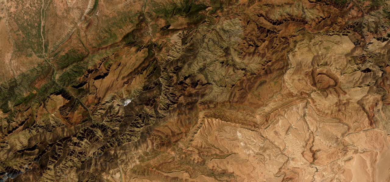
Where it runs
Navigate to the start: Apple Maps · Google Maps
Character
Elevation
under 4%4–8%over 8%180 – 2,270 mHazards
- extreme fog and low cloud
- narrow sections with sheer drop-offs
- snow possible at the summit
- periodic daytime closures for road works
See the typical season and live conditions for the high passes ›
Sources: Road geometry © OpenStreetMap contributors
Nearby roads
The closest great drives to Roque de los Muchachos.