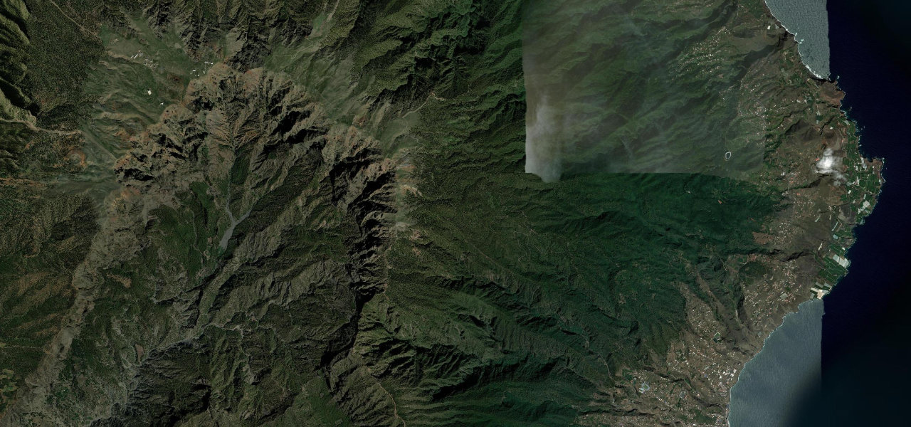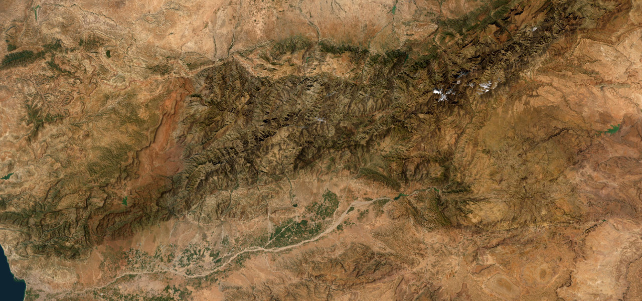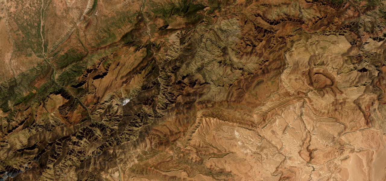
Tenerife, Canary Islands · Spain
Teide Caldera Traverse
TF-21Vilaflor to El Portillo
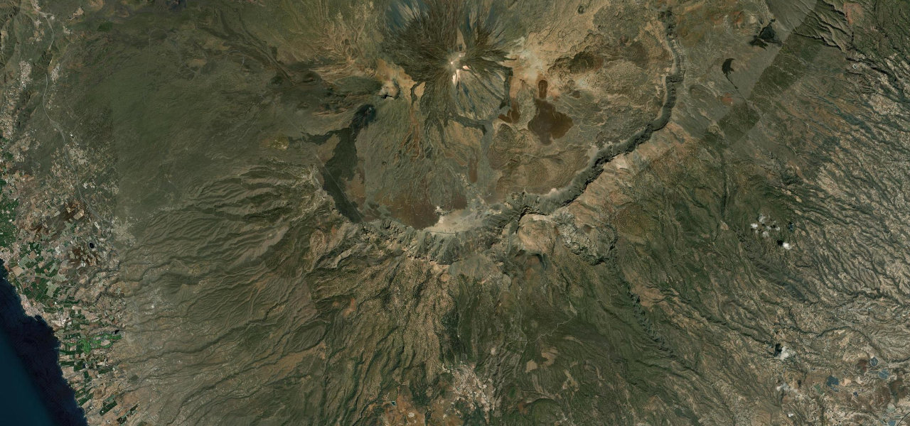
The most spectacular road in the Canaries, climbing from Spain’s highest village through ancient pine forest into the lunar lava fields of Teide National Park, Mount Teide towering overhead across the caldera at over 2,000 m.
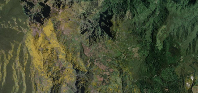
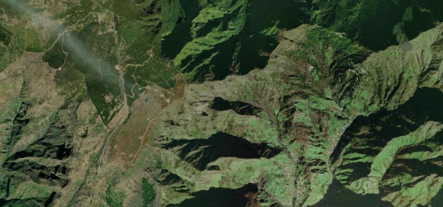
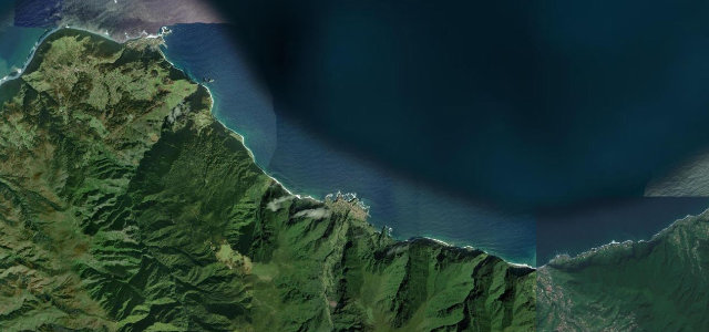
From Vilaflor the TF-21 climbs through dense Canarian pine in a cascade of hairpins; at Boca Tauce it enters the caldera of an ancient supervolcano, crossing mile after mile of rust-red lava with Teide’s 3,715 m cone dominating. The cable-car station at 2,356 m is the high point before the road sweeps east past Roques de García to the El Portillo rim, a full crossing of one of Europe’s most dramatic volcanic landscapes.
Scenery
Where it runs
Navigate to the start: Apple Maps · Google Maps
Character
The highest road in Spain, by our count in the catalogue.
Elevation
under 4%4–8%over 8%1,441 – 2,555 mHazards
- ice and snow in winter
- hundreds of tight curves
- altitude exposure
- sudden cloud cover
Sources: Road geometry © OpenStreetMap contributors
Nearby roads
The closest great drives to Teide Caldera Traverse.