Madeira · Portugal
Curral das Freiras
ER 107Santo António, Funchal to Eira do Serrado
Madeira’s climb to the rim of the Nuns' Valley at Eira do Serrado.
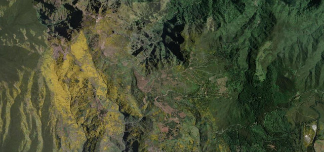
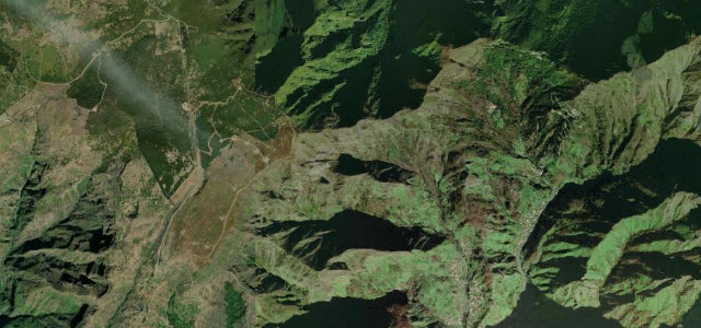
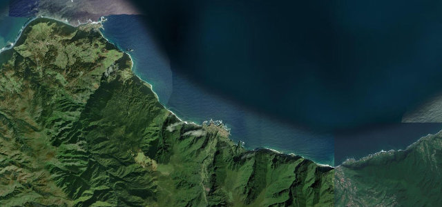
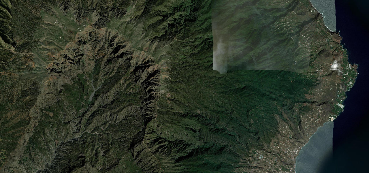
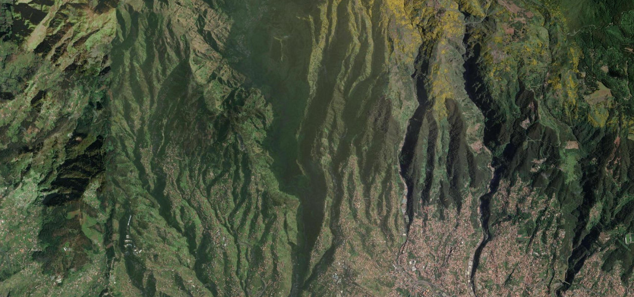
Curral das Freiras, the Nuns' Valley, is the amphitheatre of green cliffs where the Poor Clares of Funchal hid from French corsairs in 1566, and the drive up to its rim is Madeira’s most dramatic inland run. The road climbs steadily out of Funchal through Santo António to the viewpoint at Eira do Serrado, 1,095 m up, where the whole valley opens beneath you with the village a toy at the bottom. It is a narrow, steep hairpin climb shared with tour coaches and the local bus, so take it patiently. Do not try to drive past the barriers at the car park: the old cliff road beyond is closed to vehicles now, rockfall-strewn and left to walkers.
Where it runs5.1 mi · point to point
Navigate to the start: Apple Maps · Google Maps
Character
Elevation
under 4%4–8%over 8%376 – 1,048 mThe strip below the profile is corner density: taller, warmer ticks mean tighter bends.
Points of interest2 stops
- Miradouro da Eira do SerradoViewpoint5.1 mi in
- Pico dos BarcelosViewpointat the start
Hazards
- Narrow, steep hairpin climb shared with tour coaches and the local bus
- Episodic rockfall and storm closures on the open road
- Do not drive past the barriers at the car park, the old cliff road beyond is closed to vehicles
- Heavy visitor traffic and scarce parking around the 1 November chestnut festival
See the typical season and live conditions for the high passes ›
Verified route: mapped from real road geometry and fact-checked by a human editor. How roads get checked
Driving the Curral das Freiras: quick answers
How long does it take to drive the Curral das Freiras?
How difficult is the Curral das Freiras to drive?
When is the best time to drive the Curral das Freiras?
Nearby roads
The closest great drives to Curral das Freiras.