Huesca, Aragon · Spain
Eje Pirenaico (Ordesa)
N-260Ainsa to Biescas
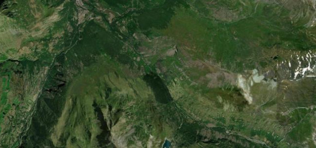
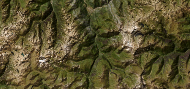
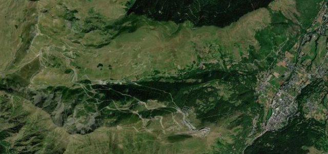
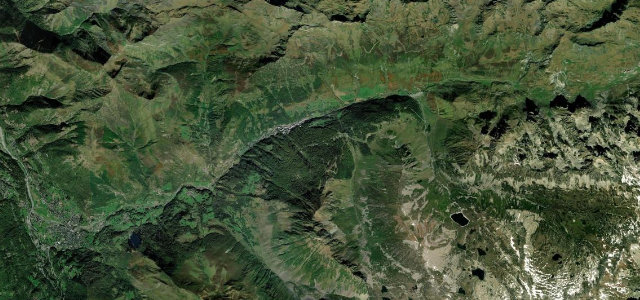
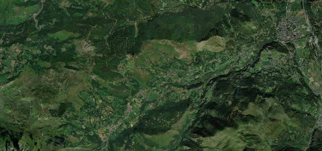
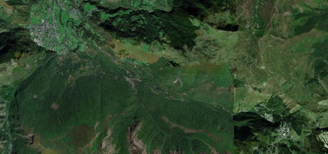
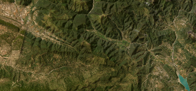
The Pyrenean Axis through the Sobrarbe canyons toward Ordesa and Biescas.
This stretch of the N-260, the Eje Pirenaico that runs the length of the Spanish Pyrenees, links Ainsa with Biescas through the Sobrarbe via Boltana, Fiscal and Broto. It strings together canyon narrows, the Janovas defile and the approaches to the Ordesa y Monte Perdido national park. Sweeping bends alternate with genuinely narrow river-valley sections. Mind very narrow uneven stretches along the Ara valley, slow caravans and motorhomes in summer, and weather closing in quickly on the higher Cotefablo section.
Scenery
Best seasons
In these collections
Where it runs30.7 mi · point to point
Navigate to the start: Apple Maps · Google Maps
Character
Corners
busiest around mile 9Elevation
under 4%4–8%over 8%547.8 – 1,231.4 mFrom the road
Points of interest3 stops
- Mirador de JánovasViewpoint8.7 mi in
- La GorgaLandmark4.2 mi in
- Zerro CoroniallasViewpoint20 mi in
Hazards
- Very narrow uneven river-valley stretches
- Slow caravans and motorhomes in summer
- Fast-changing weather on the high passes
Sources
“The canyon's unique geography and the story behind the road make it one of Spain's most memorable drives.”
Verified route: mapped from real road geometry and fact-checked by a human editor. How roads get checked
Driving the Eje Pirenaico (Ordesa): quick answers
How long does it take to drive the Eje Pirenaico (Ordesa)?
How difficult is the Eje Pirenaico (Ordesa) to drive?
When is the best time to drive the Eje Pirenaico (Ordesa)?
Nearby roads
The closest great drives to Eje Pirenaico (Ordesa).