Occitania · France
Port de Pailhères
D25Ascou to Mijanès
High Ariège Pyrenees pass with stacked hairpins above Ax-les-Thermes.
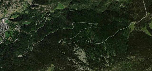
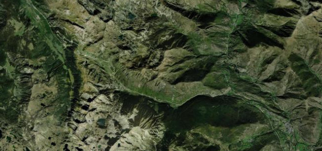
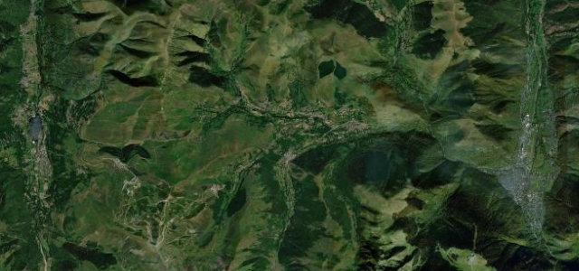
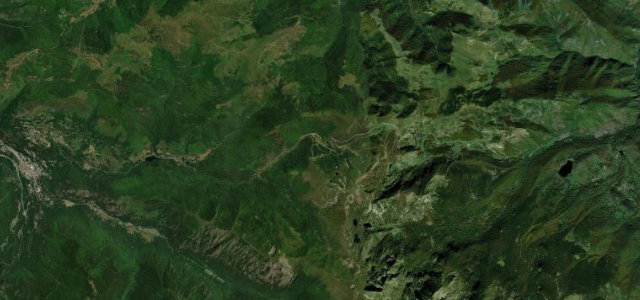
The D25 crosses the Port de Pailhères at just over 2,000 m in the Ariège Pyrenees, linking Ax-les-Thermes with Mijanès and the Donezan. The western approach is known for its succession of evenly spaced hairpins climbing out of the forest into open mountain, and the climb has appeared in the Tour de France since 2003, rated hors-catégorie since 2005. The road is narrow and exposed near the summit and is closed by snow in winter.
Scenery
Best seasons
In these collections
Where it runs15.9 mi · point to point
Navigate to the start: Apple Maps · Google Maps
Character
More hairpins than 9 in 10 roads in the catalogue.
Corners
busiest around mile 12Elevation
under 4%4–8%over 8%958.9 – 2,000.7 mFrom the road
Points of interest3 stops
- La cabane du trôneViewpointat the start
- Port de PailhèresViewpoint9.4 mi in
- Forge de MijanèsLandmark15 mi in
Hazards
- Tight stacked hairpins on the western side
- Narrow exposed road near the 2,001 m summit
- Winter snow closure
Is Port de Pailhères open? Typical season and live summit weather ›
Sources
“There's very little traffic and the higher you get the greater the sensation of exposure.”
Verified route: mapped from real road geometry and fact-checked by a human editor. How roads get checked
Driving the Port de Pailhères: quick answers
How long does it take to drive the Port de Pailhères?
How difficult is the Port de Pailhères to drive?
When is the best time to drive the Port de Pailhères?
Nearby roads
The closest great drives to Port de Pailhères.