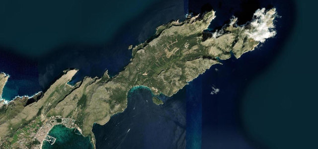
Tozeur / Kébili · Tunisia
Chott el Djerid Causeway
P16Tozeur to Kébili
Distance57.8 mi93 km
Drive time1 h 46 minon the road
DifficultyEasytightness 3 of 10
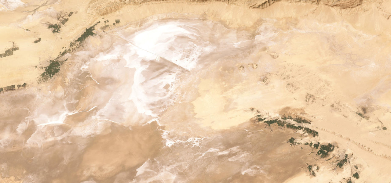
The P16 causeway crosses the Chott el Djerid, Africa’s largest salt lake, on a ruler-straight road through a shimmering alien landscape of white salt crusts, rainbow mineral deposits and heat mirages.
From Tozeur the P16 heads southeast across the causeway spanning the 5,000 square kilometre salt pan, for 80 km entirely flat and dead-straight, the surface shifting white to gold to terracotta with the light, roadside stalls selling desert roses. The far shore emerges at Kébili, gateway to the dunes of Douz. Best at dawn or dusk.
LakesValley
Where it runs
TozeurStart · Tozeur / Kébili
KébiliEnd · Tozeur / Kébili
Navigate to the start: Apple Maps · Google Maps
Character
Corners10bends
Tightness3of 10
Max gradient2%≈ 1-in-50
Climb95 mtotal ascent
Summit74 mhighest point of the line · 243 ft
Elevation
under 4%4–8%over 8%15 – 74 mPoints of interest
- Site touristique Chott El JeridLandmark
- باب سيدي مشنتلLandmark
- PalmeraieLandmark
Hazards
- Extreme summer heat exceeding 45 C, carry water and fuel
- Mirages can be disorienting on the long straight crossing
- Road edges may flood during rare winter rains
- No services or fuel along the causeway
Sources: Road geometry © OpenStreetMap contributors
Nearby roads
The closest great drives to Chott el Djerid Causeway.
Chott el Djerid Causeway
Directions