Sardinia · Italy
Orientale Sarda
SS125Baunei to Dorgali
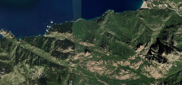
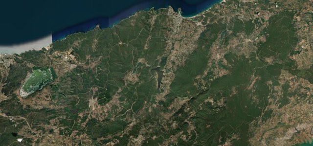
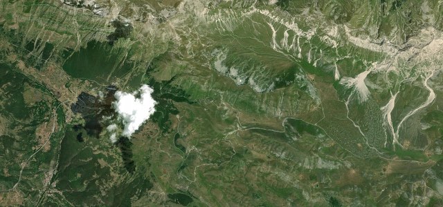
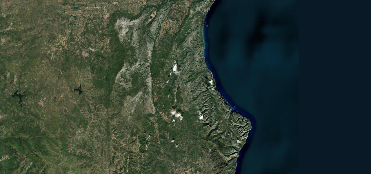
Often called the best driving road in the world, 50 km through the limestone Supramonte above the Gulf of Orosei on near-perfect asphalt, over a succession of named mountain passes.
From Baunei the SS125 climbs into the Supramonte through passes separated by limestone plateaux, topping out at Ghenna ‘e Silana (1,002 m) before descending through cork-oak forest toward Dorgali, near Gorropu, Italy’s deepest gorge. Short straights into continuous blind bends on impeccable asphalt, with almost no traffic.
Ask drivers for the best road on earth and this is the name that comes up most: fifty kilometres of flawless asphalt looping the Supramonte passes above the Gulf of Orosei, almost traffic-free.
Why we picked it
On the road
The road runs from Baunei to Dorgali. Beyond Baunei it crosses a long, almost uninhabited stretch of the Supramonte before reaching Dorgali, so fill up before you set off. Passes on the way include Ghenna ‘e Rugge and Ghenna ‘e Mesu as well as Ghenna ‘e Silana. From the Silana pass to Dorgali the road runs about 12 miles (20 km) through holm oak, juniper and rock walls. Its bends are sweeping rather than tight hairpins.
Ghenna ‘e Silana has a large car park, a bar and an old roadman’s house. From here a path drops about 650 metres to the Gorropu gorge, whose walls top 500 metres in places. Entry to the gorge is by ticket. Allow around two hours for the descent and longer for the climb back.
Many bends are blind, and after persistent rain or strong wind, stones and even boulders can land on the road. Spring and autumn are the best seasons for the gorge walk, as summer heat makes the climb back to the pass hard going.
Scenery
Best seasons
In these collections
In these guides
Orientale Sarda on the map27.2 mi · point to point
Navigate to the start: Apple Maps · Google Maps
Character
Corners
busiest around mile 12Elevation
under 4%4 to 8%over 8%460 to 1,029 mFrom the road
Points of interest3 stops
- Genna CroceViewpoint14 mi in
- Ghenna SìlanaViewpoint17 mi in
- Genna PettaViewpoint19 mi in
Hazards
- Blind bends
- Rockfall after rain
- Free-roaming livestock
- Very limited phone signal and fuel
Sources
“This is the most incredible driving experience you will ever have. A truly amazing road that we think is the number one in the world.”
Route traced from OpenStreetMap, with its stats measured from that line. How the roads are mapped
Routes for iPhone carries Orientale Sarda offline, with live weather and a 7 day forecast.
Nearby roads
The closest great drives to Orientale Sarda.