Corsica · France
Calanche de Piana
D81Porto to Piana
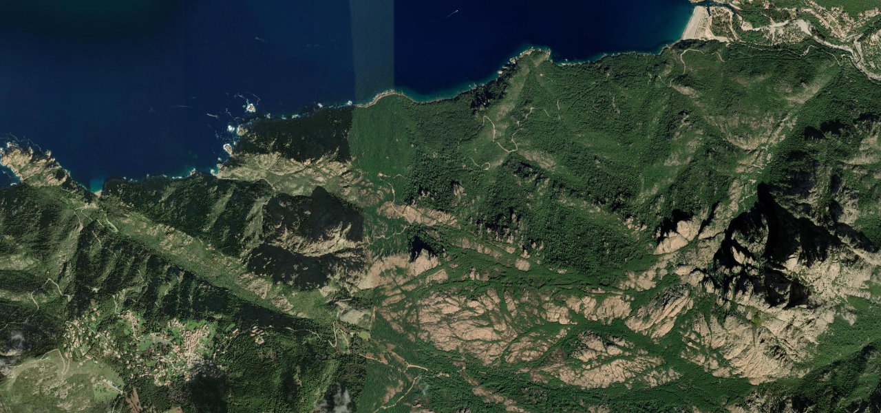
Twelve kilometres of UNESCO-listed red-granite cliffs plunging into the turquoise Gulf of Porto, widely considered one of the great drives of Europe.
The D81 hugs Corsica’s west coast between Porto and Piana, threading the Calanches, wind-eroded ochre granite towers up to 300 m above the Mediterranean. The road is paved but at times a single car’s width; the two kilometres cutting through the formations give the most dramatic viewpoints. Driving south toward Piana gives the best light, with the granite turning crimson at sunset.
Scenery
Best seasons
In these collections
In these guides
Calanche de Piana on the map5.7 mi · point to point
Navigate to the start: Apple Maps · Google Maps
Character
Corners
busiest around mile 4Elevation
under 4%4–8%over 8%54.5 – 480.4 mFrom the road
Points of interest3 stops
- Coeur de PianaLandmark4.1 mi in
- Tête de ChienLandmark3.2 mi in
- Le Pass’partoutLandmarkat the start
Hazards
- Very narrow road
- Heavy summer traffic
- Tour buses
- Blind bends
- Sheer cliff drops
Sources
“This narrow road winds against magnificent red granite faces that plunge into the sea. It's said to be one of the great drives of Europe.”
Verified route: mapped from real road geometry and fact-checked by a human editor. How roads get checked
Driving the Calanche de Piana: quick answers
How long does it take to drive the Calanche de Piana?
How difficult is the Calanche de Piana to drive?
When is the best time to drive the Calanche de Piana?
Nearby roads
The closest great drives to Calanche de Piana.