Dubrovnik-Neretva County · Croatia
Pelješac Peninsula Road
D414Orebić to Ston
The spine of a sun-drenched wine peninsula, flanked by limestone ridges and Adriatic blue.
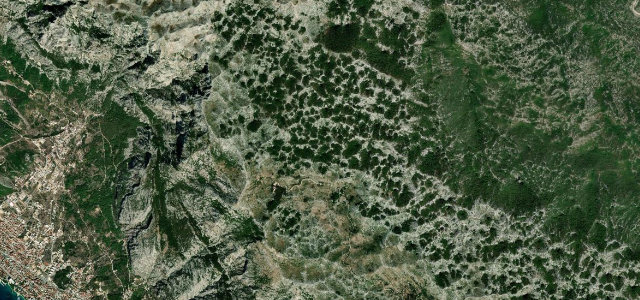
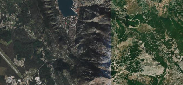
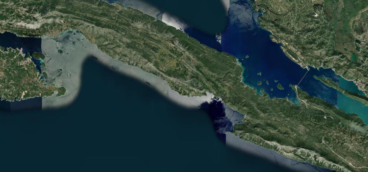
D414 runs the length of the Pelješac peninsula, threading between the austere inland hills of the Dingač wine country and a coastline of sheltered bays and island silhouettes. The road climbs gently over limestone shoulders before descending to small harbour towns, with the peninsula’s narrow width meaning the sea is rarely out of sight on either side. The surface is well-maintained asphalt with moderate curves throughout, making it as pleasurable a drive as it is scenic.
Scenery
Best seasons
In these collections
In these Grand Tours
In these guides
Pelješac Peninsula Road on the map27.3 mi · point to point
Navigate to the start: Apple Maps · Google Maps
Character
Corners
busiest around mile 6Elevation
under 4%4–8%over 8%-0.3 – 411.7 mFrom the road
Points of interest3 stops
- Kozje ždrijeloViewpoint16 mi in
- Spomenik palim borcimaLandmark13 mi in
- KapetanViewpoint5.3 mi in
Hazards
- Heavy summer tourist traffic and caravans on narrow sections
- Sharp bends near Trpanj ferry port
- Occasional oncoming ferry traffic making road changes unpredictable
- Strong Bura wind gusts on exposed ridge sections
Sources
“Belying its utilitarian official name is some of the most incredible scenery on the Adriatic Sea, with cold and imposing limestone hills on one side of the road giving way to lush coastlines on the other.”
Verified route: mapped from real road geometry and fact-checked by a human editor. How roads get checked
Driving the Pelješac Peninsula Road: quick answers
How long does it take to drive the Pelješac Peninsula Road?
How difficult is the Pelješac Peninsula Road to drive?
When is the best time to drive the Pelješac Peninsula Road?
Nearby roads
The closest great drives to Pelješac Peninsula Road.