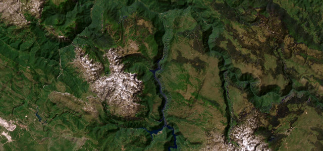
Plužine Municipality · Montenegro
Piva Canyon Road
M-3Unač to Donje Kruševo
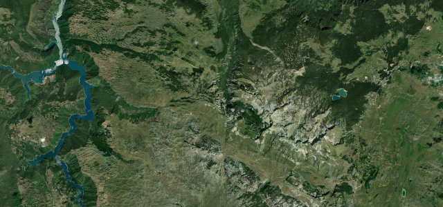
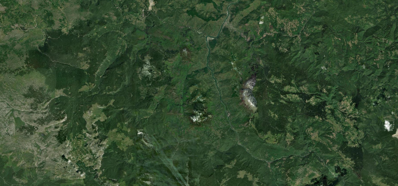
Cliff-cut tunnel road above the turquoise Piva reservoir.
The M-3 runs from Plužine north to Šćepan Polje on the Bosnian border, carved into the wall of the Piva canyon above the dammed reservoir. The 1970s alignment passes through more than 50 short tunnels cut directly into the rock, most of them unlit and single-lane. Mind the unlit tunnels, oncoming vehicles and the long unguarded drop to the water.
Where it runs15.4 mi · point to point
UnačStart · Plužine Municipality
Donje KruševoEnd · Plužine Municipality
Navigate to the start: Apple Maps · Google Maps
Character
Corners120bends
Tightness9of 10
Max gradient9%≈ 1-in-11
Climb1,327 mapproximate · DEM-limited
Summit839.4 mapproximate · DEM-limited
Corners
busiest around mile 6Elevation
approximateunder 4%4–8%over 8%494.4 – 839.4 mPoints of interest3 stops
- Via Ferrata PivaLandmark12 mi in
- Brdo PlužinskoViewpointat the start
- SokoLandmark15 mi in
Hazards
- Unlit narrow tunnels
- Unguarded canyon drops
- Rockfall and landslides
Sources
“The road alongside the river is a feat of engineering in itself, clinging to the cliffs and passing through 56 small and unlit tunnels carved out of the stone.”
Verified route: mapped from real road geometry and fact-checked by a human editor. How roads get checked
Driving the Piva Canyon Road: quick answers
How long does it take to drive the Piva Canyon Road?
Piva Canyon Road runs 15.4 miles (25 km) and takes about 38 min to drive without stops.
How difficult is the Piva Canyon Road to drive?
We rate it expert: 120 corners, a maximum gradient of 9%, and a tightness of 9 out of 10.
When is the best time to drive the Piva Canyon Road?
Spring and Summer and Autumn are best.
Nearby roads
The closest great drives to Piva Canyon Road.
Piva Canyon Road
DirectionsGet the app