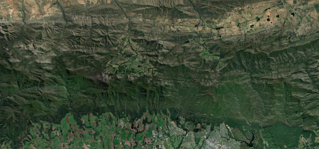
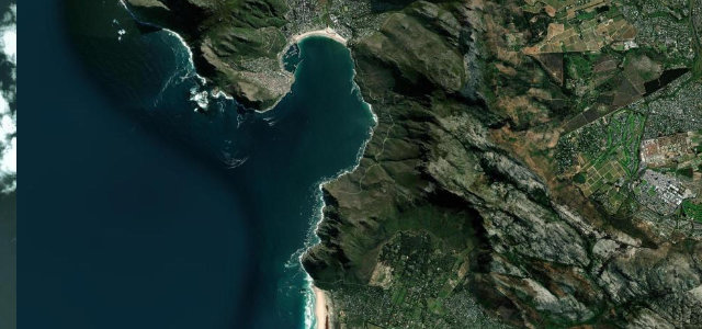
Outeniqua Mountains, Western Cape · South Africa
Prince Alfred's Pass
R339Knysna to Avontuur
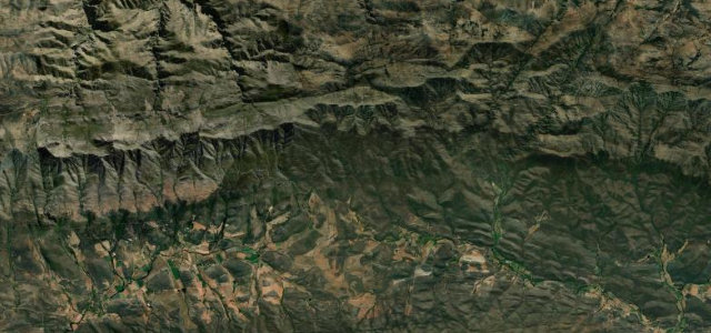
South Africa’s longest publicly accessible mountain pass at 68.5 km, a Thomas Bain masterpiece of 1867 crossing the Outeniqua Mountains from the Garden Route coast to the Klein Karoo.
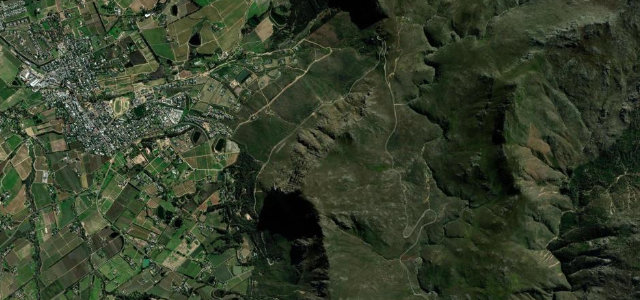
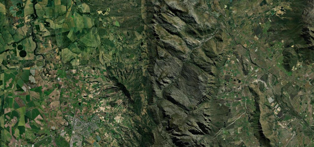
From the N2 east of Knysna the R339 climbs into dense Afromontane forest, gaining 844 m to a 1,035 m summit before descending to Avontuur in the Klein Karoo. Bain’s dry-stone retaining walls survive throughout; the lower forest section passes the Valley of Ferns, the upper opens into mountain fynbos with long Langkloof views, with De Vlugt a natural midpoint. Speeds rarely exceed 40 km/h on the corrugated gravel.
Scenery
Where it runs
Navigate to the start: Apple Maps · Google Maps
Character
Elevation
under 4%4–8%over 8%186 – 1,046 mHazards
- gravel throughout, corrugated with potholes
- numerous blind hairpin bends
- single-lane sections needing reversing to pass
- seven river crossings that flood after rain
- no mobile reception for most of the route
- no fuel for 68 km
Sources: Road geometry © OpenStreetMap contributors
Nearby roads
The closest great drives to Prince Alfred's Pass.