Overberg, Western Cape · South Africa
Clarence Drive
R44Gordon’s Bay to Kleinmond
False Bay’s cliff corniche, 77 bends from Gordon’s Bay to Kleinmond.
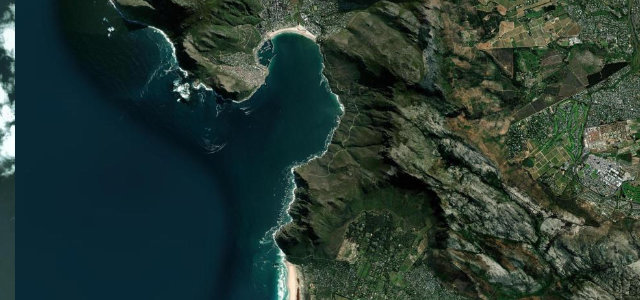
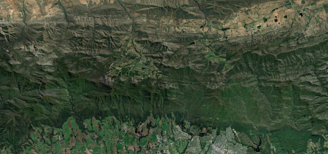
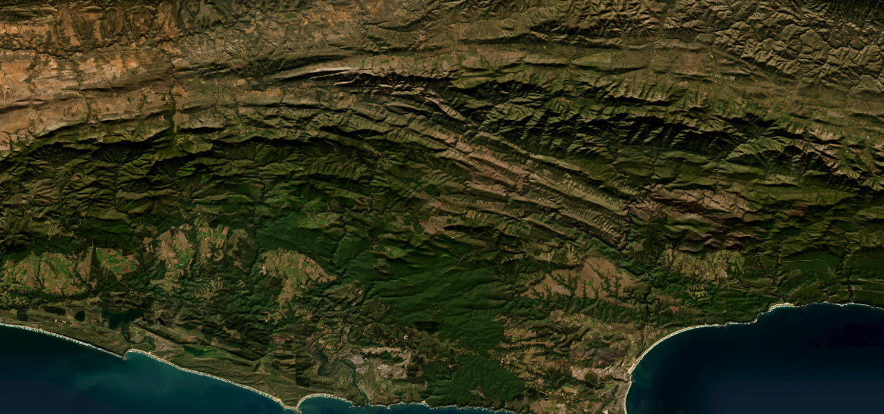
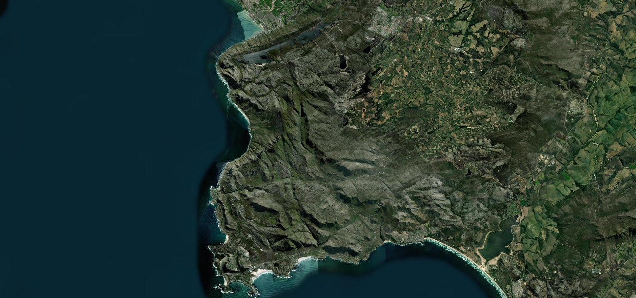
Clarence Drive is cut into the seaward wall of the Kogelberg, the R44 hanging between mountain and ocean the whole way round False Bay’s eastern shore. Built from 1940, largely by Italian prisoners of war, it counts 77 bends through the UNESCO Kogelberg Biosphere Reserve, with whales below the cliffs from June to November, baboons on the tar at Rooi-Els and the penguin colony at Stony Point just off the road in Betty’s Bay. It is the toll-free rival to Chapman’s Peak and every bit its equal; watch for rockfall closures after heavy winter rain, cyclists on the narrow sections, and the wind at Rooi-Els.
Scenery
Best seasons
In these collections
Where it runs28.9 mi · point to point
Navigate to the start: Apple Maps · Google Maps
Character
Elevation
under 4%4–8%over 8%0 – 154 mThe strip below the profile is corner density: taller, warmer ticks mean tighter bends.
Points of interest3 stops
- Kogel BayViewpoint7.0 mi in
- Rooi-ElsLandmark13 mi in
- Stony Point penguin colony, Betty’s BayLandmark19 mi in
Hazards
- Baboons on the road around Rooi-Els
- Rockfalls and mudslides after heavy rain, with short-notice closures
- Cyclists on the narrow winding section
- Strong coastal winds near Rooi-Els
See the typical season and live conditions for the high passes ›
Verified route: mapped from real road geometry and fact-checked by a human editor. How roads get checked
Driving the Clarence Drive: quick answers
How long does it take to drive the Clarence Drive?
How difficult is the Clarence Drive to drive?
When is the best time to drive the Clarence Drive?
Nearby roads
The closest great drives to Clarence Drive.