Mpumalanga · South Africa
Long Tom Pass
R37Lydenburg to Sabie
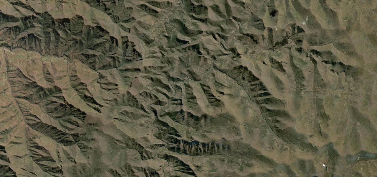
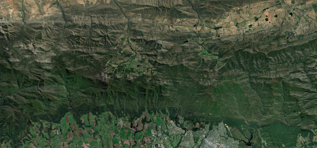
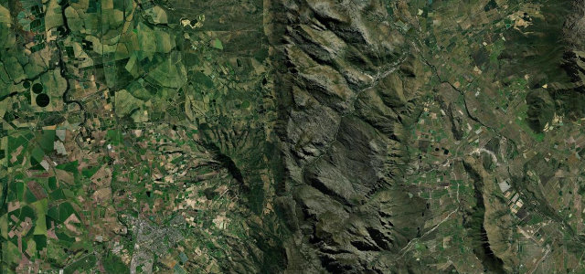
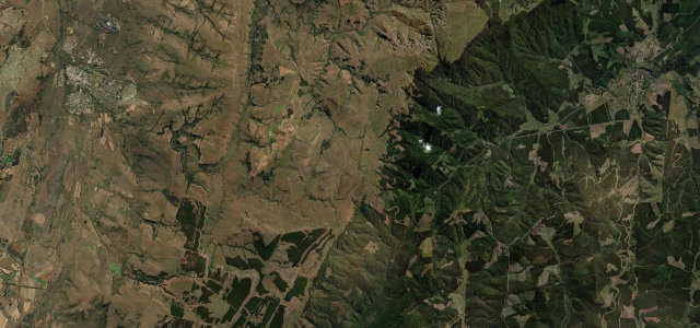
Named for the Boer Long Tom cannons used here in the Second Boer War, the R37 crosses the Drakensberg escarpment at about 2,150 metres between Lydenburg and Sabie. Sixty-six corners through forestry country, plus thick mist that turns up unannounced.
The R37 crosses the Drakensberg escarpment between Lydenburg (Mashishing) and Sabie, climbing to a tarred summit of about 2,150 m, and named after the Boer Long Tom cannons used here in the Second Boer War. It is one of South Africa’s highest tarred mountain passes, winding through forestry country with long mountain views. Mind the thick mist, heavy traffic and winter ice near the summit.
Where it runs29.3 mi · point to point
Navigate to the start: Apple Maps · Google Maps
Character
Corners
busiest around mile 15Elevation
under 4%4–8%over 8%1,399.9 – 2,148 mPoints of interest3 stops
- The Staircase ViewpointViewpoint15 mi in
- Long Tom PassViewpoint13 mi in
- Long Tom CannonLandmark21 mi in
Hazards
- Dense mist and low cloud
- Heavy commercial traffic
- Ice and snow in winter
Sources
“The road is now in excellent condition, offering one spectacular panoramic view after another.”
Verified route: mapped from real road geometry and fact-checked by a human editor. How roads get checked
Driving the Long Tom Pass: quick answers
How long does it take to drive the Long Tom Pass?
How difficult is the Long Tom Pass to drive?
When is the best time to drive the Long Tom Pass?
Nearby roads
The closest great drives to Long Tom Pass.