Otago · New Zealand
Skippers Canyon Road
Coronet Peak Road junction to Skippers Bridge
Hand-cut gold-rush shelf road clinging to a schist canyon above the Shotover River.
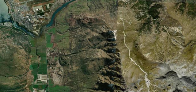
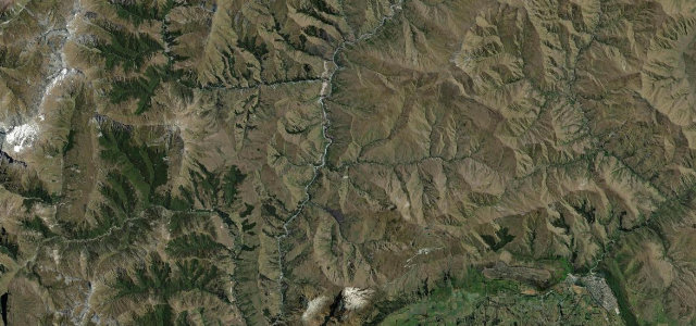
Skippers Road branches off the sealed Coronet Peak Road and threads north along a single-lane ledge blasted into the canyon wall by miners in the 1880s. It is gravel for its whole length, with sheer unfenced drops to the Shotover River far below and almost no room to pass an oncoming vehicle. The reward is the historic Skippers suspension bridge and some of Queenstown’s most dramatic scenery, but most rental agreements specifically forbid driving it. Mind the unguarded cliff edges, blind single-lane corners where you may have to reverse, and loose gravel.
Scenery
Best seasons
In these collections
Where it runs10.7 mi · point to point
Navigate to the start: Apple Maps · Google Maps
Character
Corners
busiest around mile 1Elevation
under 4%4–8%over 8%432.4 – 941.9 mFrom the road
Points of interest3 stops
- Māori Point SaddleViewpoint2.4 mi in
- Hells GateLandmark9.4 mi in
- Skippers SaddleViewpoint10 mi in
Hazards
- Unfenced cliff drops
- Single-lane blind corners
- Loose gravel surface
Sources
“It is a stunningly beautiful road, but extreme caution is required.”
Verified route: mapped from real road geometry and fact-checked by a human editor. How roads get checked
Driving the Skippers Canyon Road: quick answers
How long does it take to drive the Skippers Canyon Road?
How difficult is the Skippers Canyon Road to drive?
When is the best time to drive the Skippers Canyon Road?
Is the Skippers Canyon Road fully paved?
Nearby roads
The closest great drives to Skippers Canyon Road.