West Coast · New Zealand
Haast Pass
SH 6Haast to Makarora
Lowest road crossing of the Southern Alps, rainforest to lakes.
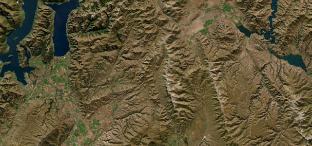
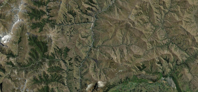
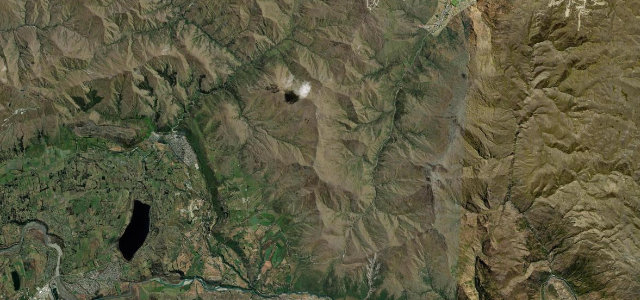
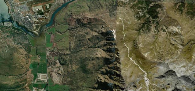
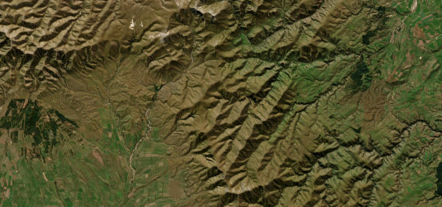
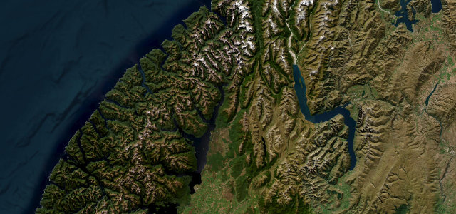
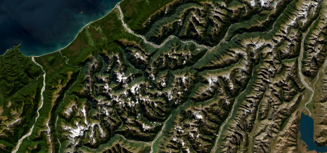
State Highway 6 climbs from the rainforest fringe at Haast township, threading the Haast River gorge up to the 562 m saddle of Haast Pass, the lowest of the three road passes over the Southern Alps, before dropping through the Makarora valley toward Wanaka. Along the way it passes the thundering Gates of Haast, where the river forces through a narrow fault, plus the easy waterfall walks to Thunder Creek Falls and Fantail Falls and the glacial Blue Pools near Makarora. The route is fully sealed and gently graded yet genuinely remote, with long stretches of no mobile reception. Mind the one-lane bridge at the Gates of Haast, frequent rockfall and slip closures near Clarke Bluff, and slick, shaded curves after rain.
Scenery
Best seasons
In these collections
In these Grand Tours
Where it runs48.6 mi · point to point
Navigate to the start: Apple Maps · Google Maps
Character
Corners
busiest around mile 7Elevation
approximateunder 4%4–8%over 8%11.2 – 577.7 mFrom the road
Points of interest2 stops
- Davis FlatViewpoint39 mi in
- Haast PassViewpoint37 mi in
Hazards
- One-lane Gates of Haast bridge
- Rockfall and slip closures
- Limited mobile reception
- Slippery shaded curves after rain
See the typical season and live conditions for the high passes ›
Sources
“The journey offers a variable landscape of rainforest, wetlands, lakes, glacier-fed rivers, and white water rapids.”
Verified route: mapped from real road geometry and fact-checked by a human editor. How roads get checked
Driving the Haast Pass: quick answers
How long does it take to drive the Haast Pass?
How difficult is the Haast Pass to drive?
When is the best time to drive the Haast Pass?
Nearby roads
The closest great drives to Haast Pass.