Otago · New Zealand
Danseys Pass Road
Naseby to Duntroon road junction
Remote tussock gravel pass over the Kakanui Mountains linking Naseby and the Waitaki.
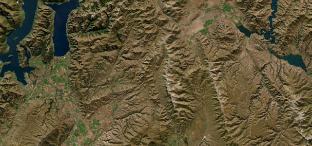
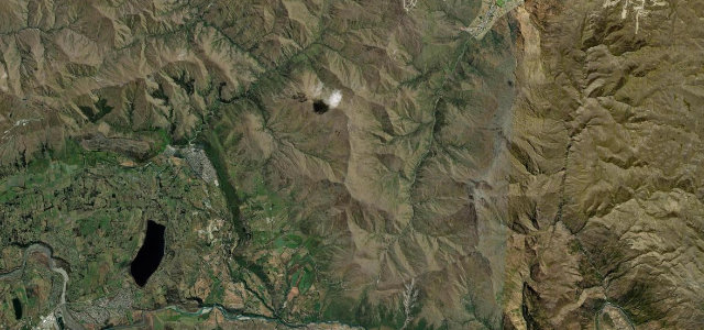
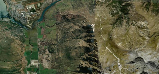
Danseys Pass Road climbs out of the Maniototo near Naseby and crosses the Kakanui Mountains to drop toward Duntroon in the Waitaki Valley. It is largely unsealed, narrow and steep in places, winding through golden high-country tussock past the historic Danseys Pass Hotel. The route is a relic of 1860s gold-mining traffic and is not suited to large vehicles or campervans. Mind the steep loose-gravel grades, blind narrow corners, and winter snow that can close the pass.
Scenery
Best seasons
In these collections
Where it runs31.6 mi · point to point
Navigate to the start: Apple Maps · Google Maps
Character
Corners
busiest around mile 14Elevation
under 4%4–8%over 8%230.7 – 916.6 mFrom the road
Points of interest2 stops
- Danseys PassViewpoint16 mi in
- Terra Cotta CliffsLandmark6.0 mi in
Hazards
- Steep loose gravel
- Blind narrow corners
- Winter snow closures
See the typical season and live conditions for the high passes ›
Sources
“well-maintained scenic gravel road that winds through both farmland and tussock-laced mountain ranges”
Verified route: mapped from real road geometry and fact-checked by a human editor. How roads get checked
Driving the Danseys Pass Road: quick answers
How long does it take to drive the Danseys Pass Road?
How difficult is the Danseys Pass Road to drive?
When is the best time to drive the Danseys Pass Road?
Is the Danseys Pass Road fully paved?
Nearby roads
The closest great drives to Danseys Pass Road.